Ipswich Village Development, Ipswich
Map
Facts and practical information
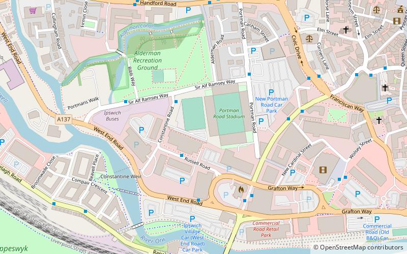
The Ipswich Village Development is a 125-acre area, situated around Portman Road stadium, Ipswich England. The main road of the development is Russell Road which was built to House TXU Corporation and bring the corporation under one roof however Suffolk County Council bought the building after the energy company hit financial difficulties, Russell Road is also home to the Ipswich Crown Court and is also home Ipswich Borough Council and Smart Energy are located opposite in Grafton House. Ipswich Crown Court is located at the start of Russell Road as well as number of government and political companies being housed on the road. ()
Coordinates: 52°3'17"N, 1°8'39"E
Address
South West Ipswich (Gipping)Ipswich
ContactAdd
Social media
Add
Getting there by public transportation
Public transportation stops near this location
- Bus
- Train
 Bus
Bus
- Calculate routeCrown Court 4 min walk
- Calculate routeFire Station 4 min walk
- Calculate routeSt Clare House 5 min walk
- Calculate routeIpswich 8 min walk
Day trips


Frequently Asked Questions (FAQ)
Which popular attractions are close to Ipswich Village Development?
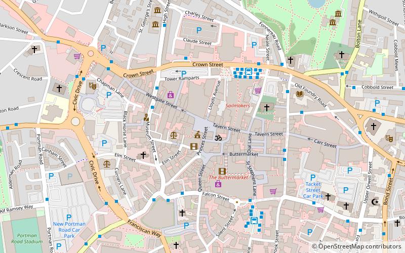
Nearby attractions include Alderman Canal East, Ipswich (4 min walk), Sir Bobby Robson Bridge, Ipswich (5 min walk), Alderman Canal West, Ipswich (5 min walk), Willis Building, Ipswich (8 min walk).
How to get to Ipswich Village Development by public transport?
The nearest stations to Ipswich Village Development:
Bus
Train
Bus
- Crown Court • Lines: 800 (4 min walk)
- Fire Station • Lines: 12, 13, 15A, 3, 3E, 66, 66A, 800, 92, 93, 93A, X7 (4 min walk)
Train
- Ipswich (8 min walk)