Old Town Railway Cutting, Swindon
Map
Facts and practical information
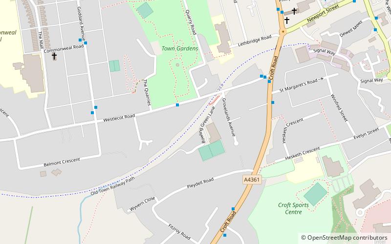
Old Town Railway Cutting is a 1.78 hectare geological Site of Special Scientific Interest in Swindon, Wiltshire, notified in 1975. It is near the site of the former Swindon Town railway station. ()
Elevation: 472 ft a.s.l.Coordinates: 51°32'51"N, 1°46'51"W
Address
Swindon
ContactAdd
Social media
Add
Getting there by public transportation
Public transportation stops near this location
- Bus
 Bus
Bus
- Calculate routeTismeads Crescent 6 min walk
- Calculate routeDevizes Road 8 min walk
- Calculate routeNewport Street Co-Op 10 min walk
- Calculate routeOld Mill Lane 10 min walk
Day trips


Frequently Asked Questions (FAQ)
Which popular attractions are close to Old Town Railway Cutting?
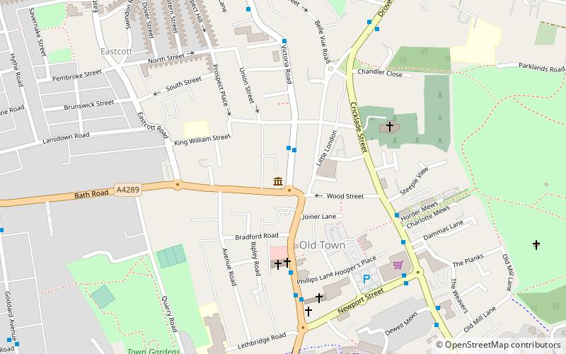
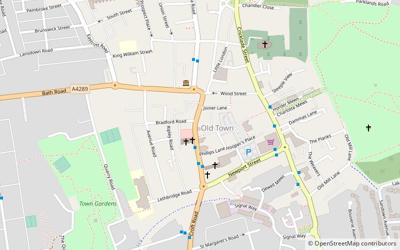
Nearby attractions include Swindon Arts Centre, Swindon (9 min walk), Swindon Museum, Swindon (10 min walk), Swindon Art Gallery, Swindon (10 min walk), Christ Church, Swindon (14 min walk).
How to get to Old Town Railway Cutting by public transport?
The nearest stations to Old Town Railway Cutting:
Bus
Bus
- Tismeads Crescent • Lines: 72 (6 min walk)
- Devizes Road • Lines: 15, 72 (8 min walk)