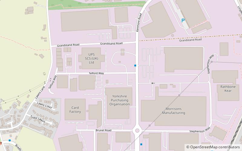
West Ardsley, Leeds
Map

Map

Facts and practical information
West Ardsley is a settlement on the south-west edge of the City of Leeds metropolitan borough. Historically part of the West Riding of Yorkshire, it roughly approximates to an amalgamation of Tingley, Woodkirk, Hill Top, Upper Green, Common Side, Beggarington Hill and a number of other hamlets. The parish church is situated at Woodkirk and Methodist church on Haigh Moor Road. Being in the middle of several towns, West Ardsley has become a dormitory settlement. ()
Coordinates: 53°42'50"N, 1°31'16"W
Address
Outwood WestLeeds
ContactAdd
Social media
Add
Day trips
West Ardsley – popular in the area (distance from the attraction)
Nearby attractions include: Trinity Walk, Wakefield Cathedral, The Ridings Centre, The Stanley Ferry.
Frequently Asked Questions (FAQ)
How to get to West Ardsley by public transport?
The nearest stations to West Ardsley:
Train
Bus
Train
- Outwood (12 min walk)
Bus
- Leeds Road Annie Street • Lines: 110 (21 min walk)


