Wyndford, Glasgow
Map
Map

Facts and practical information
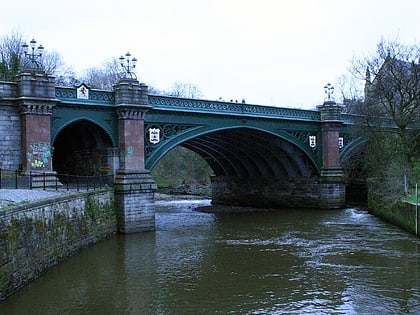
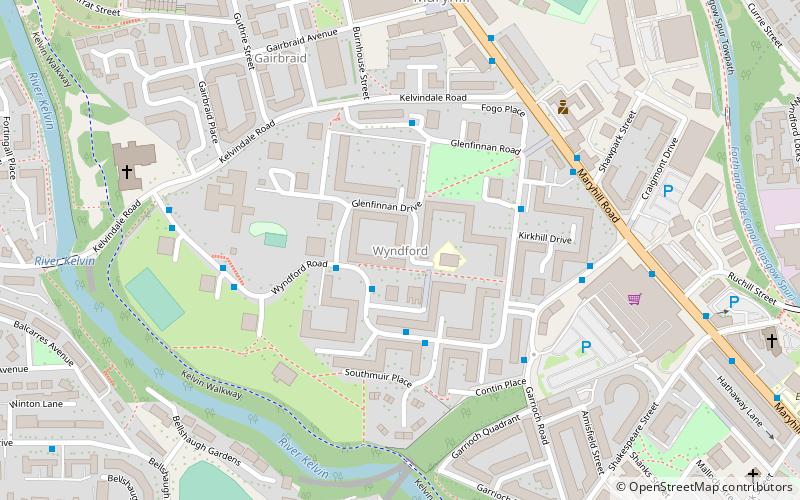
Wyndford is an area of the city of Glasgow, Scotland. Located two miles northwest of the city centre in Maryhill, Wyndford is bounded by Maryhill Road to the north and the River Kelvin to the south. The area comprises council housing that is typical of that which was built throughout Glasgow in the 1960s and 1970s. The houses are now either privately owned or mainly run by Cube housing association. The community is represented by the Wyndford Tenants Union. ()
Coordinates: 55°53'16"N, 4°17'29"W
Address
WyndfordGlasgow
ContactAdd
Social media
Add
Day trips
Wyndford – popular in the area (distance from the attraction)
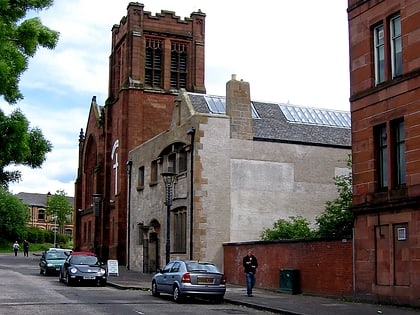
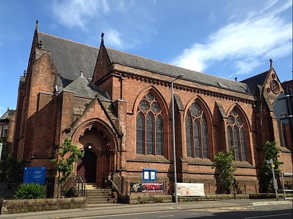
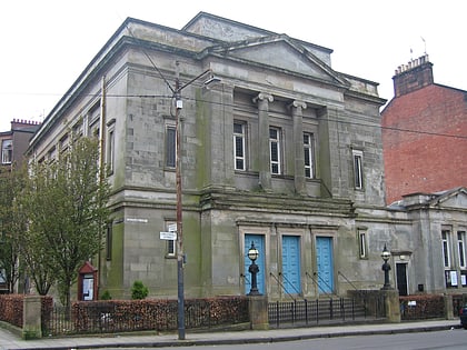
Nearby attractions include: Queen's Cross Church, Glasgow Botanic Gardens, Ruchill Church Hall, Kelvinside Hillhead Parish Church.
Frequently Asked Questions (FAQ)
Which popular attractions are close to Wyndford?
Nearby attractions include Maryhill Burgh Halls, Glasgow (6 min walk), Scottish Mask and Puppet Centre, Glasgow (7 min walk), Ruchill Parish Church, Glasgow (9 min walk), Ruchill Church Hall, Glasgow (9 min walk).
How to get to Wyndford by public transport?
The nearest stations to Wyndford:
Bus
Train
Metro
Bus
- Maryhill, Wyndford Road/ Invershin Drive • Lines: 94 (2 min walk)
Train
- Gilshochill (19 min walk)
- Summerston (20 min walk)
Metro
- Hillhead • Lines: Subway (23 min walk)
- Kelvinbridge • Lines: Subway (27 min walk)


