Oxmoor Copse, East Horsley
Map

Map

Facts and practical information
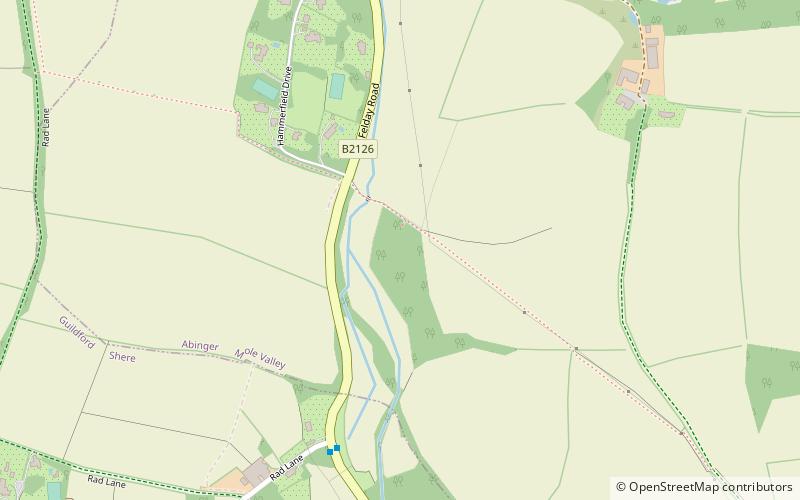
Oxmoor Copse is just south of the village of Abinger Hammer and to the west of the village of Abinger Common, in Surrey. It is 1.23 hectares and is in an AONB lying within the Surrey Hills. The previous owners gave the copse to the Woodland Trust as a gift. ()
Coordinates: 51°12'36"N, 0°25'50"W
Address
East Horsley
ContactAdd
Social media
Add
Day trips
Oxmoor Copse – popular in the area (distance from the attraction)
Nearby attractions include: Piney Copse, St James's Church, Abinger Castle, Colekitchen Down.


