St James's Church

Gallery (1)
Map
Map
Facts and practical information
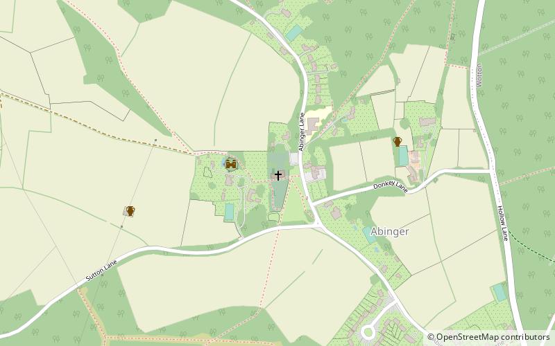
St James's Church stands on Abinger Lane in Abinger Common, a small village within the civil parish of Abinger in Surrey, south-eastern England. The church was built in the early 12th century and then rebuilt around 1220, and is today a grade II* listed building. ()
Coordinates: 51°12'7"N, 0°24'20"W
Day trips


