Hollingbury, Brighton

Gallery (7)
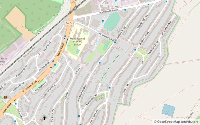
Map


Map

Gallery
Facts and practical information
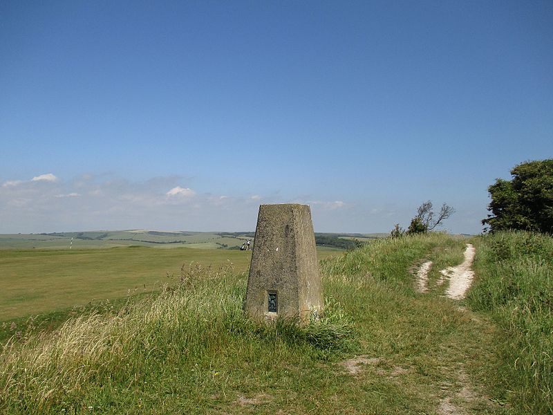
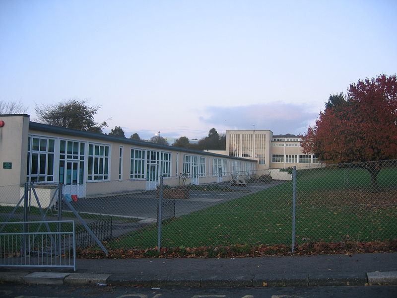
Hollingbury is an area of the city of Brighton and Hove, East Sussex. The area sits high on a hillside across the north of the city, east of Patcham which lies in a valley to the west, Coldean in a valley to the east, and the A27 bypass forming the northern limit. To the south it blends into the leafy Surrenden area and the busy Fiveways local shopping area. ()
Coordinates: 50°51'35"N, 0°7'56"W
Address
Patcham (Hollingbury)Brighton
ContactAdd
Social media
Add
Getting there by public transportation
Public transportation stops near this location
- Bus
- Train
 Bus
Bus
- Calculate routeLyminster Avenue North 1 min walk
- Calculate routeRotherfield Crescent Middle 4 min walk
- Calculate routeCounty Oak Avenue South 6 min walk
- Calculate routeMoulsecoomb 28 min walk
- Calculate routePreston Park 36 min walk
Day trips


Frequently Asked Questions (FAQ)
Which popular attractions are close to Hollingbury?
Nearby attractions include Ladies Mile, Brighton (16 min walk), Wild Park, Sussex Downs AONB (20 min walk), All Saints Church, Brighton (24 min walk).
How to get to Hollingbury by public transport?
The nearest stations to Hollingbury:
Bus
Train
Bus
- Lyminster Avenue North • Lines: 26, 46 (1 min walk)
- Rotherfield Crescent Middle • Lines: 46 (4 min walk)
Train
- Moulsecoomb (28 min walk)
- Preston Park (36 min walk)