Brighton and Lewes Downs Biosphere Reserve, Brighton
Facts and practical information
The Brighton and Lewes Downs Biosphere Reserve is a UNESCO Biosphere Reserve located in Sussex on the southeast coast of England near the city of Brighton and Hove. Forming a central unit of the hills of the South Downs National Park, it is centred on the Brighton chalk block that lies between the River Adur in the west and the River Ouse in the east. Chalk downland makes up the principal terrestrial landscape of the area, bounded at each end by the two river valleys. The coastline is dominated by impressive chalk cliffs in the east and urbanized plains in the west, running to the estuary of the River Adur at Shoreham-by-Sea. The area is nationally and internationally renowned for its arts and culture, distinctive settlements, independent mindset and its links to the surrounding iconic English landscape of downland, white chalk cliffs and beaches. ()
- Bus
- Train
 Bus
Bus
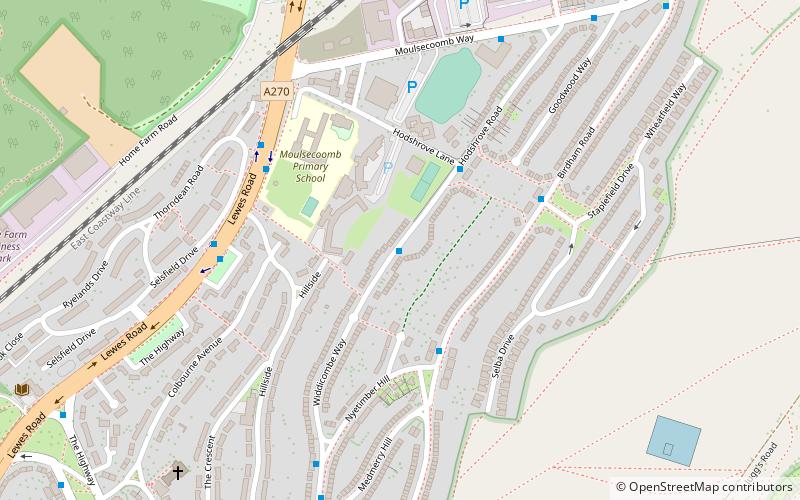
- Calculate routeHodshrove Road 1 min walk
- Calculate routeBirdham Road South End 3 min walk
- Calculate routeStaplefield Drive 4 min walk
- Calculate routeMoulsecoomb 14 min walk
- Calculate routeFalmer 33 min walk


Frequently Asked Questions (FAQ)
Which popular attractions are close to Brighton and Lewes Downs Biosphere Reserve?
How to get to Brighton and Lewes Downs Biosphere Reserve by public transport?
Bus
- Hodshrove Road • Lines: 49 (1 min walk)
- Birdham Road South End • Lines: 49, 70 (3 min walk)
Train
- Moulsecoomb (14 min walk)
- Falmer (33 min walk)