Luton/Dunstable Urban Area, Luton

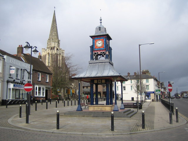
Gallery (2)
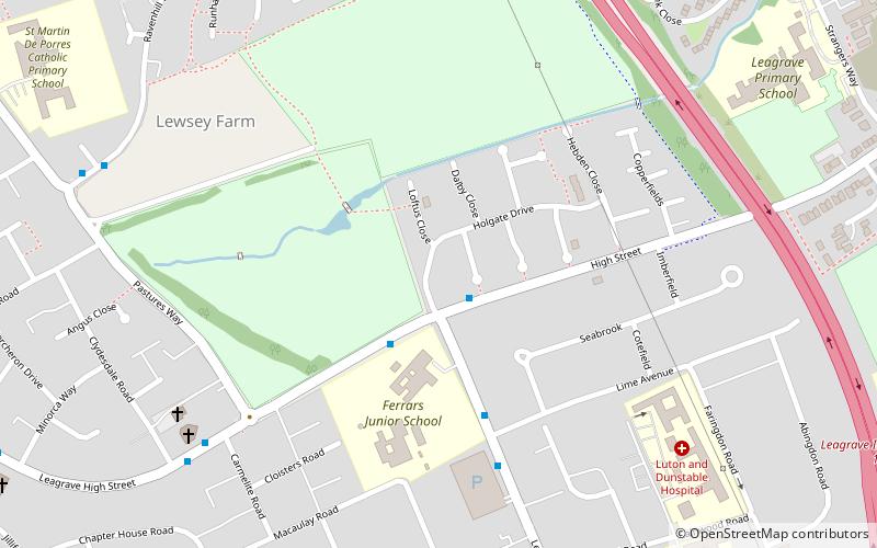
Map
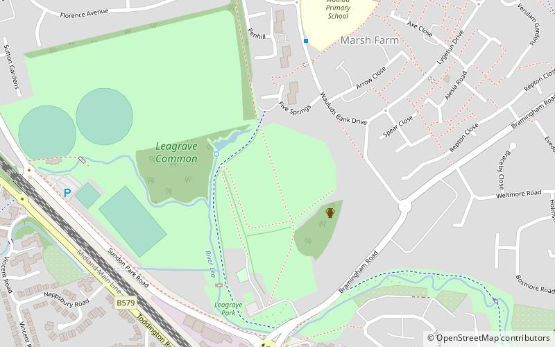
Map
Gallery
Facts and practical information
Coordinates: 51°53'56"N, 0°28'44"W
Address
ChallneyLuton
ContactAdd
Social media
Add
Getting there by public transportation
Public transportation stops near this location
- Bus
- Train
 Bus
Bus
- Calculate routeHalfway Avenue 18 min walk
- Calculate routeSimpson Close 19 min walk
- Calculate routeLeagrave 25 min walk
Day trips


Frequently Asked Questions (FAQ)
How to get to Luton/Dunstable Urban Area by public transport?
The nearest stations to Luton/Dunstable Urban Area:
Bus
Train
Bus
- Halfway Avenue • Lines: 737 (18 min walk)
- Simpson Close • Lines: 737 (19 min walk)
Train
- Leagrave (25 min walk)