Newton Dale, North York Moors

Gallery (1)
Map
Map
Facts and practical information
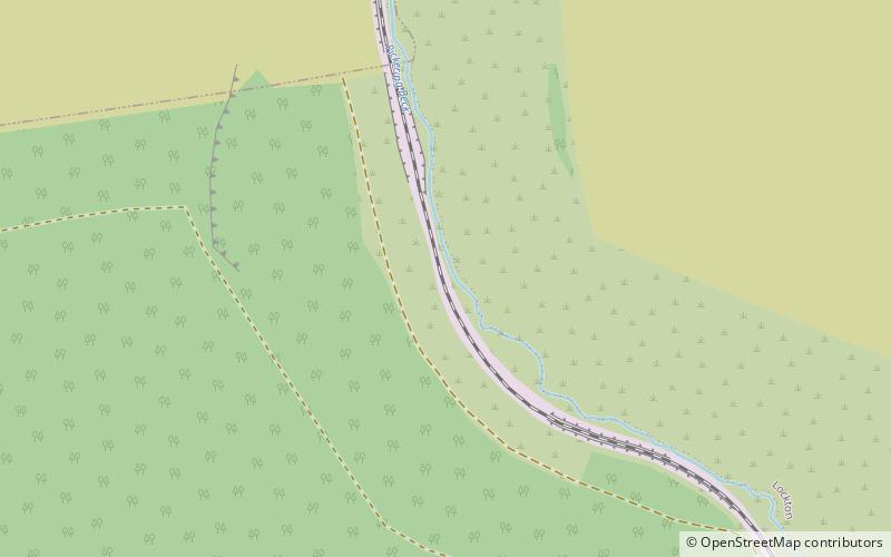
Newton Dale is a narrow dale within the North York Moors National Park in North Yorkshire, England. It was created by meltwater from a glacier carving the narrow valley. Water still flows through the dale and is known as Pickering Beck. ()
Coordinates: 54°21'17"N, 0°42'38"W
Address
North York Moors
ContactAdd
Social media
Add
Getting there by public transportation
Public transportation stops near this location
- Train
 Train
Train
- Calculate routeNewton Dale 23 min walk
Day trips


Frequently Asked Questions (FAQ)
How to get to Newton Dale by public transport?
The nearest stations to Newton Dale:
Train
Train
- Newton Dale (23 min walk)