Tabular Hills, North York Moors
Map

Map

Facts and practical information
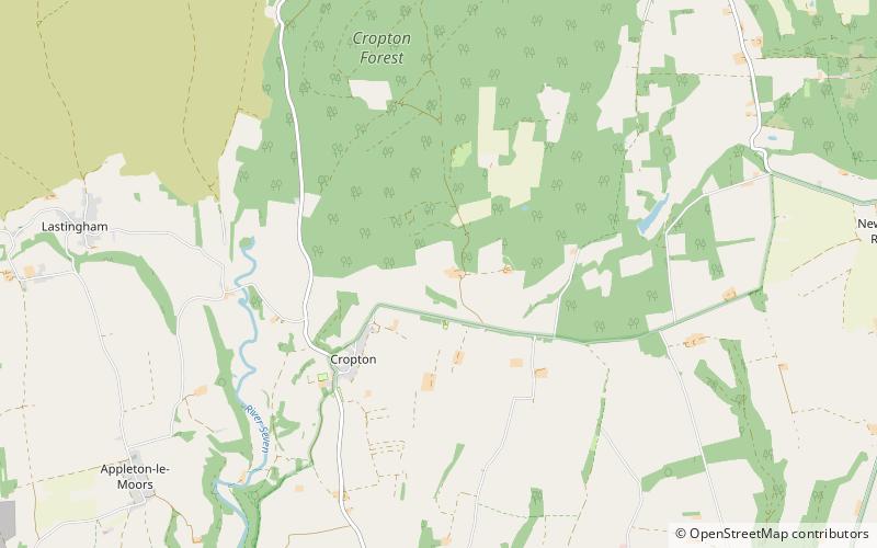
The Tabular Hills form an east–west line along the southern bounds of the North York Moors, between Scarborough in the east and Black Hambleton in the west. The name refers to their flat summits composed of hard Corallian limestone, known locally as "nabs". They form the northern boundary of the Vale of Pickering. ()
Coordinates: 54°17'60"N, 0°49'30"W
Address
North York Moors
ContactAdd
Social media
Add
Day trips
Tabular Hills – popular in the area (distance from the attraction)
Nearby attractions include: St Peter and St Paul's Church, Pickering Castle, Rosedale Priory, Wade's Causeway.


