Brinksway Caves, Stockport
Map
Facts and practical information
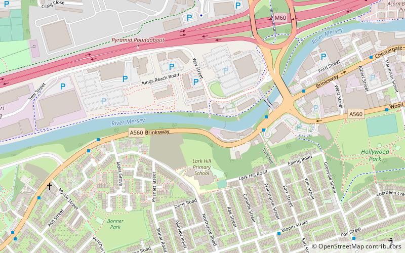
The Brinksway Caves, also known as Maggie's Caves, are a group of artificial caves located in Brinksway, by the River Mersey in Stockport. ()
Coordinates: 53°24'23"N, 2°10'38"W
Address
Stockport (Edgeley and Cheadle Heath)Stockport
ContactAdd
Social media
Add
Getting there by public transportation
Public transportation stops near this location
- Bus
- Train
 Bus
Bus
- Calculate routeStockport, Brinksway / opposite The Woolpack 3 min walk
- Calculate routeStockport, Brinksway / outside The Woolpack 3 min walk
- Calculate routeCheadle Heath, Brinksway / opposite Northgate Road 5 min walk
- Calculate routeBrinksway/The Woolpack 5 min walk
- Calculate routeStockport 16 min walk
- Calculate routeDavenport 39 min walk
Day trips


Frequently Asked Questions (FAQ)
Which popular attractions are close to Brinksway Caves?
Nearby attractions include The Co-operative Bank, Stockport (4 min walk), Alexandra Park Edgeley, Stockport (12 min walk), Stockport Viaduct, Stockport (16 min walk), Hat Works Museum, Stockport (17 min walk).
How to get to Brinksway Caves by public transport?
The nearest stations to Brinksway Caves:
Bus
Train
Bus
- Stockport, Brinksway / opposite The Woolpack • Lines: 11A, 312 (3 min walk)
- Stockport, Brinksway / outside The Woolpack • Lines: 11A, 323 (3 min walk)
Train
- Stockport (16 min walk)
- Davenport (39 min walk)