Liverpool Plinth, Liverpool
Map
Facts and practical information
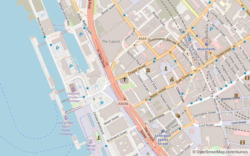
The Liverpool Plinth is an art space that showcases sculptures for a 12-month period on a plinth outside Liverpool Parish Church in Liverpool, UK. The Liverpool Plinth, in the mould of Trafalgar Square’s Fourth Plinth, occupies a prominent position overlooking Chapel Street and Liverpool’s waterfront. It laid empty since the removal of Brian Burgess’s “Christ on a Donkey” several years ago. ()
Coordinates: 53°24'26"N, 2°59'41"W
Address
Central LiverpoolLiverpool
ContactAdd
Social media
Add
Getting there by public transportation
Public transportation stops near this location
- Bus
- Tram
- Train
 Bus
Bus
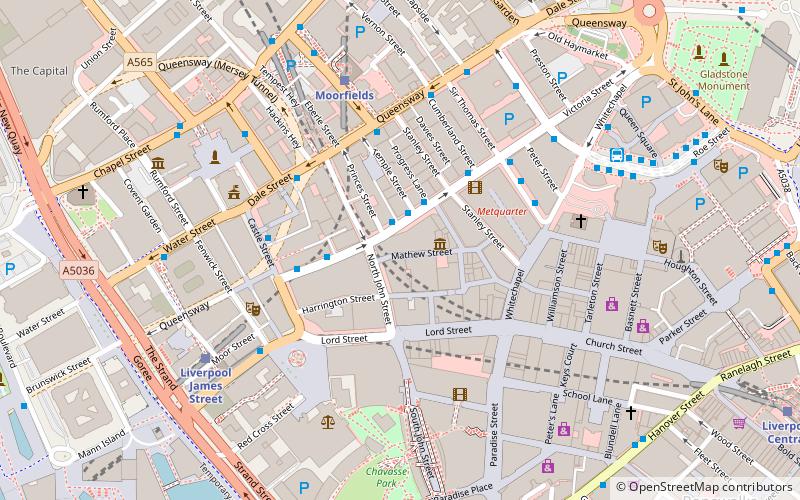
- Calculate routeLiverpool James Street 5 min walk
- Calculate routeMoorfields 7 min walk
- Calculate routeLiverpool Central 17 min walk
- Calculate routeLiverpool Lime Street 19 min walk
- Calculate routeJames St/stop Jb 6 min walk
- Calculate routeDale St/stop Dd 7 min walk
- Calculate routeCrosshall St/stop Cx 10 min walk
- Calculate routeWoodside Ferry 27 min walk
- Calculate routeShore Road 28 min walk
- Calculate routeStop 33 min walk
Day trips


Frequently Asked Questions (FAQ)
Which popular attractions are close to Liverpool Plinth?
Nearby attractions include Church of Our Lady and Saint Nicholas, Liverpool (1 min walk), Liverpool Maritime Mercantile City, Liverpool (1 min walk), Unity Buildings, Liverpool (2 min walk), Western Approaches, Liverpool (2 min walk).
How to get to Liverpool Plinth by public transport?
The nearest stations to Liverpool Plinth:
Train
Bus
Tram
Train
- Liverpool James Street (5 min walk)
- Moorfields (7 min walk)
Bus
- James St/stop Jb • Lines: 18 (6 min walk)
- Dale St/stop Dd • Lines: 18 (7 min walk)
Tram
- Woodside Ferry • Lines: Wirral Tramway (27 min walk)
- Shore Road • Lines: Wirral Tramway (28 min walk)