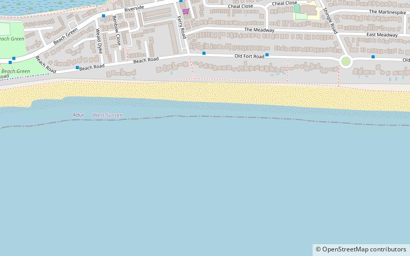
Shoreham Beach, Shoreham-by-Sea
Map

Map

Facts and practical information
Shoreham Beach is a 26.2-hectare Local Nature Reserve in Shoreham-by-Sea in West Sussex. It is owned and managed by Adur District Council. ()
Elevation: 0 ft a.s.l.Coordinates: 50°49'34"N, 0°16'16"W
Address
Shoreham-by-Sea
ContactAdd
Social media
Add
Day trips
Shoreham Beach – popular in the area (distance from the attraction)
Nearby attractions include: St Mary de Haura Church, Shoreham Fort, St Nicolas Church, Shoreham Town Hall.
Frequently Asked Questions (FAQ)
Which popular attractions are close to Shoreham Beach?
Nearby attractions include Marlipins Museum, Shoreham-by-Sea (13 min walk), Shoreham Town Hall, Shoreham-by-Sea (13 min walk), St Mary de Haura Church, Shoreham-by-Sea (13 min walk), St Peter's Church, Shoreham-by-Sea (14 min walk).
How to get to Shoreham Beach by public transport?
The nearest stations to Shoreham Beach:
Bus
Train
Bus
- Ferry Road • Lines: 59 (4 min walk)
- Old Fort Road • Lines: 59 (5 min walk)
Train
- Shoreham-by-Sea (15 min walk)


