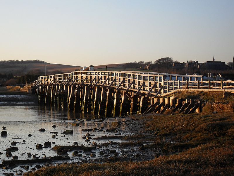
Shoreham Tollbridge, Shoreham-by-Sea
Map

Gallery

Facts and practical information
Shoreham Tollbridge is a bridge crossing the River Adur in West Sussex, England. It is the last of its kind in Sussex and one of the last of its kind anywhere in the world. ()
Opened: 1782 (244 years ago)Coordinates: 50°50'26"N, 0°17'18"W
Address
A283 Steyning RoadShoreham-by-Sea BN43 5WQ
Contact
+44 1273 441061
Social media
Add
Day trips
Shoreham Tollbridge – popular in the area (distance from the attraction)
Nearby attractions include: St Mary de Haura Church, Lancing College Chapel, St Nicolas Church, Shoreham Town Hall.
Frequently Asked Questions (FAQ)
Which popular attractions are close to Shoreham Tollbridge?
Nearby attractions include St Nicolas Church, Shoreham-by-Sea (3 min walk), St Peter's Church, Shoreham-by-Sea (19 min walk), Lancing College Chapel, Sussex Downs AONB (19 min walk), Lancing College, Sussex Downs AONB (20 min walk).
How to get to Shoreham Tollbridge by public transport?
The nearest stations to Shoreham Tollbridge:
Bus
Train
Bus
- Red Lion • Lines: 2, 59, 60 (4 min walk)
- North End • Lines: 2, 59, 60 (8 min walk)
Train
- Shoreham-by-Sea (22 min walk)


