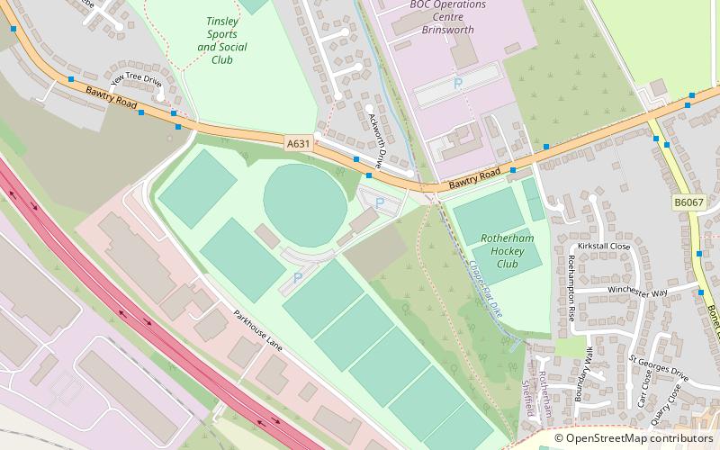
Sheffield Hallam University Sports Park, Sheffield

Map
Facts and practical information
Sheffield Hallam University Sports Park is a multipurpose sports venue in Sheffield that is owned and run by Sheffield Hallam University. ()
Coordinates: 53°24'24"N, 1°23'10"W
Address
DarnallSheffield
ContactAdd
Social media
Add
Day trips
Sheffield Hallam University Sports Park – popular in the area (distance from the attraction)
Nearby attractions include: Meadowhall Shopping Centre, Tinsley Viaduct, Catcliffe Glass Cone, Valley Centertainment.
Frequently Asked Questions (FAQ)
Which popular attractions are close to Sheffield Hallam University Sports Park?
Nearby attractions include Templeborough, Rotherham (22 min walk), Magna Science Adventure Centre, Rotherham (23 min walk).
How to get to Sheffield Hallam University Sports Park by public transport?
The nearest stations to Sheffield Hallam University Sports Park:
Bus
Tram
Train
Bus
- Bawtry Road/Ackworth Drive • Lines: 208 (2 min walk)
Tram
- Meadowhall South / Tinsley • Lines: Tt, Yell (24 min walk)
- Carbrook/Ikea • Lines: Tt, Yell (27 min walk)
Train
- Meadowhall Interchange (35 min walk)


