Tinsley Viaduct, Sheffield
Map

Gallery

Facts and practical information
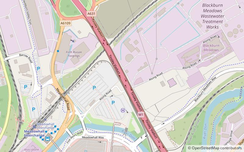
Tinsley Viaduct is a two-tier road bridge in Sheffield, England; it was the first of its kind in the United Kingdom. It carries the M1 and the A631 3,389 feet over the Don Valley, from Tinsley to Wincobank, also crossing the Sheffield Canal, the Midland Main Line and the former South Yorkshire Railway line from Tinsley Junction to Rotherham Central. The Supertram route to Meadowhall runs below part of the viaduct on the trackbed of the South Yorkshire Railway line to Barnsley. ()
Opened: 25 March 1968 (57 years ago)Length: 3389 ftHeight: 66 ftCoordinates: 53°25'8"N, 1°24'28"W
Day trips
Tinsley Viaduct – popular in the area (distance from the attraction)
Nearby attractions include: Meadowhall Shopping Centre, Valley Centertainment, Lower Don Valley, Wincobank.
Frequently Asked Questions (FAQ)
Which popular attractions are close to Tinsley Viaduct?
Nearby attractions include Blackburn Meadows, Sheffield (17 min walk), Magna Science Adventure Centre, Rotherham (21 min walk), Templeborough, Rotherham (21 min walk).
How to get to Tinsley Viaduct by public transport?
The nearest stations to Tinsley Viaduct:
Bus
Tram
Train
Bus
- Meadowhall Road/Barrow Road • Lines: A1 (6 min walk)
- Meadow Bank Road/Tinsley Viaduct • Lines: A1 (7 min walk)
Tram
- Meadowhall Interchange • Lines: Yell (7 min walk)
- Meadowhall South / Tinsley • Lines: Tt, Yell (9 min walk)
Train
- Meadowhall Interchange (8 min walk)


