Milton Range, Gravesend
#16 among attractions in Gravesend
![Milton Range location map](https://tzmedia.b-cdn.net/media/images/static-maps/gb/51_4414_0_412.jpg)
Facts and practical information
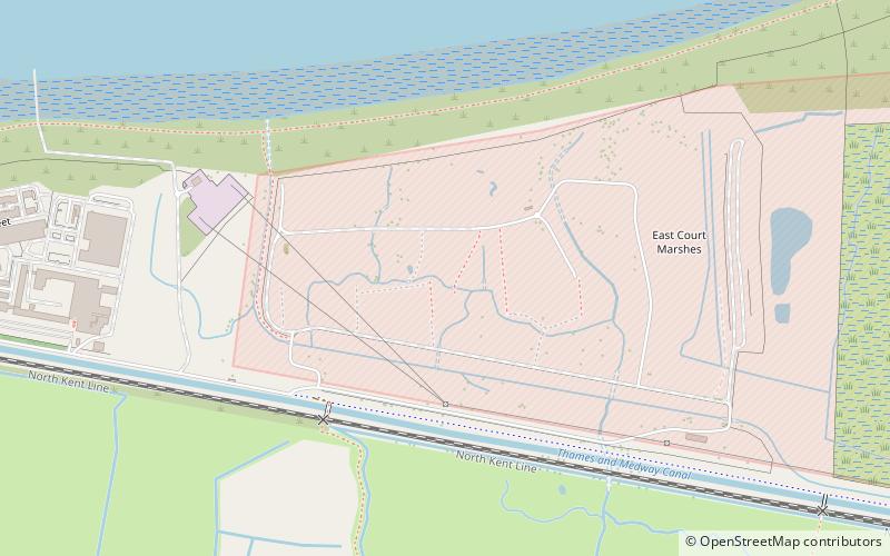
Milton Range is a rifle range east of Gravesend. It was formerly served by Milton Range Halt. ()
ChalkGravesend United Kingdom
- Bus
Bus
- Calculate routeVicarage Lane 21 min walkLines 190
- Calculate routeHavisham Road 21 min walkLines 190
- Calculate routeDamigos Road 21 min walkLines 190
Gravesend plan & book
Unleash the traveler in you — discover the cheapest flight deals, find the perfect hotel or hostel nearby, and search for the best car rental prices. Travel at your own pace to discover new places and enjoy your journey.
Milton Range – popular in the area (distance from the attraction)
Nearby attractions include: Tilbury Fort, Coalhouse Fort, New Tavern Fort, Gravesend Town Hall.
1.8 miNWGeorgian architecture, Military base, ParkTilbury Fort, Gravesend
46 min walk • Tilbury Fort, also known historically as the Thermitage Bulwark and the West Tilbury Blockhouse, is an artillery fort on the north bank of the River Thames in England.
1.9 miNEForts and castles, Historical placeCoalhouse Fort
48 min walk • Coalhouse Fort is an artillery fort in the eastern English county of Essex. It was built in the 1860s to guard the lower Thames from seaborne attack.
1.5 miWGeorgian architecture, Forts and castlesNew Tavern Fort, Gravesend
39 min walk • New Tavern Fort is an historic artillery fort in Gravesend, Kent. Dating mostly from the 18th and 19th centuries, it is an unusually well-preserved example of an 18th-century fortification and remained in use for defensive purposes until the Second World War.
1.8 miWCity hallGravesend Town Hall, Gravesend
46 min walk • Gravesend Town Hall is a municipal building in the High Street in Gravesend, Kent, England. The town hall, which was the headquarters of Gravesend Municipal Borough Council, is a Grade II* listed building.
2.4 miNEForts and castlesCliffe Fort
62 min walk • Cliffe Fort is a disused artillery fort built in the 1860s to guard the entrance to the Thames from seaborne attack. Constructed during a period of tension with France, it stands on the south bank of the river at the entrance to Cliffe Creek in the Cliffe marshes on the Hoo Peninsula in North Kent.
1.5 miWMuseumMilton Chantry, Gravesend
40 min walk • Milton Chantry is a former chantry chapel in Gravesend, Kent England. It houses the Chantry Heritage Centre, displaying a range of exhibits relating to Gravesend, Northfleet, and the nearby villages.
2.4 miSParkShorne Wood Country Park
62 min walk • Shorne Wood Country Park is located between Strood and Gravesend, in the English county of Kent. It was once part of a large estate and then later passed to the county council to be used as a country park.
1.2 miNEForts and castlesShornemead Fort
31 min walk • Shornemead Fort is a now-disused artillery fort that was built in the 1860s to guard the entrance to the Thames from seaborne attack.
1.9 miWGeorgian architecture, ChurchSt George's Church, Gravesend
49 min walk • St George's Church, Gravesend, is a Grade II*-listed Anglican church dedicated to Saint George the patriarch of England, which is situated near the foot of Gravesend High Street in the Borough of Gravesham. It serves as Gravesend's parish church and is located in the diocese of Rochester in Kent, England.
1.8 miWPiers and boardwalksTown Pier, Gravesend
47 min walk • The Gravesend Town Pier is located in Gravesend, Kent. It was designed by William Tierney Clark and built in 1834 on the site of the earlier Town Quay. Over 3 million passengers were served between 1835 and 1842, but around 1900, this pier fell into disuse due to the arrival of the railways.
1.6 miWPiers and boardwalksRoyal Terrace Pier, Gravesend
42 min walk • Royal Terrace Pier is owned and managed by the Port of London Authority and is located adjacent to their headquarters at London River House in Gravesend.
Frequently Asked Questions (FAQ)
How to get to Milton Range by public transport?
Bus
- Vicarage Lane • Lines: 190 (21 min walk)
- Havisham Road • Lines: 190 (21 min walk)