Town Pier, Gravesend
Map

Map

Facts and practical information
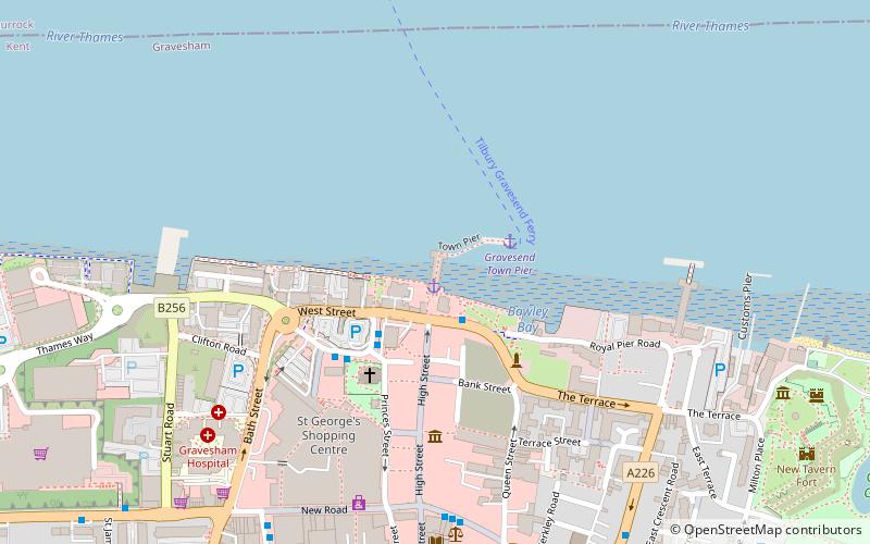
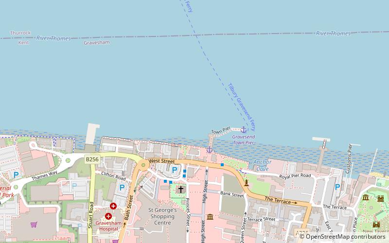
The Gravesend Town Pier is located in Gravesend, Kent. It was designed by William Tierney Clark and built in 1834 on the site of the earlier Town Quay. Over 3 million passengers were served between 1835 and 1842, but around 1900, this pier fell into disuse due to the arrival of the railways. ()
Length: 127 ftCoordinates: 51°26'43"N, 0°22'11"E
Address
West StreetRiversideGravesend DA11 0BJ
Contact
+44 1474 337600
Social media
Add
Day trips
Town Pier – popular in the area (distance from the attraction)
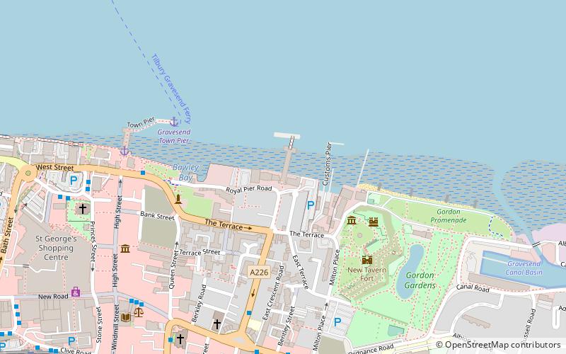
Nearby attractions include: Tilbury Fort, New Tavern Fort, Gravesend Town Hall, Milton Chantry.
Frequently Asked Questions (FAQ)
Which popular attractions are close to Town Pier?
Nearby attractions include St George's Church, Gravesend (3 min walk), Gravesend Town Hall, Gravesend (4 min walk), Gravesend Lifeboat Station, Gravesend (6 min walk), Royal Terrace Pier, Gravesend (6 min walk).
How to get to Town Pier by public transport?
The nearest stations to Town Pier:
Bus
Ferry
Train
Bus
- West Street • Lines: 190, 416, 455, 480, 481, 483, 490 (2 min walk)
- King Street • Lines: 190, 416, 480, 481, 489, 490 (6 min walk)
Ferry
- Gravesend Town Pier • Lines: Gravesend-Tillbury Foot Ferry, Tillbury-Gravesend Foot Ferry (2 min walk)
- Tilbury Landing Stage • Lines: Gravesend-Tillbury Foot Ferry, Tillbury-Gravesend Foot Ferry (11 min walk)
Train
- Gravesend (8 min walk)
- Tilbury Town (35 min walk)


