Kendray, Barnsley
Map

Map

Facts and practical information
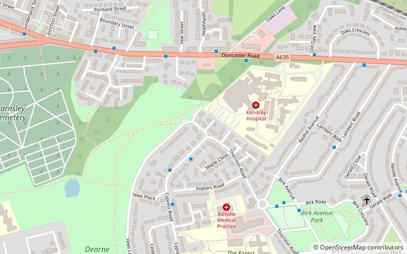
Kendray is an area in the S70 postal district of Barnsley, South Yorkshire, England that lies between Sheffield Road and Doncaster Road, both of which lead to and from Barnsley town centre. The area takes its name from Kendray Hospital which was named after the linen manufacturer, Francis Kendray. After the first world war building of council houses commenced and the Kendray estate was first established. ()
Coordinates: 53°32'42"N, 1°27'32"W
Address
Barnsley
ContactAdd
Social media
Add
Day trips
Kendray – popular in the area (distance from the attraction)
Nearby attractions include: Barnsley Metrodome, Alhambra Shopping Centre, Oakwell, Barnsley Town Hall.
Frequently Asked Questions (FAQ)
How to get to Kendray by public transport?
The nearest stations to Kendray:
Bus
Train
Bus
- Upper Sheffield Road/YTC Bus Depot • Lines: X17 (13 min walk)
- Sheffield Road/Park Road • Lines: X17 (17 min walk)
Train
- Barnsley Interchange (26 min walk)


