Cleeve Hill SSSI, Lambourn
#5 among attractions in Lambourn
![Cleeve Hill SSSI location map](https://tzmedia.b-cdn.net/media/images/static-maps/gb/51_486_-1_523.jpg)
Facts and practical information
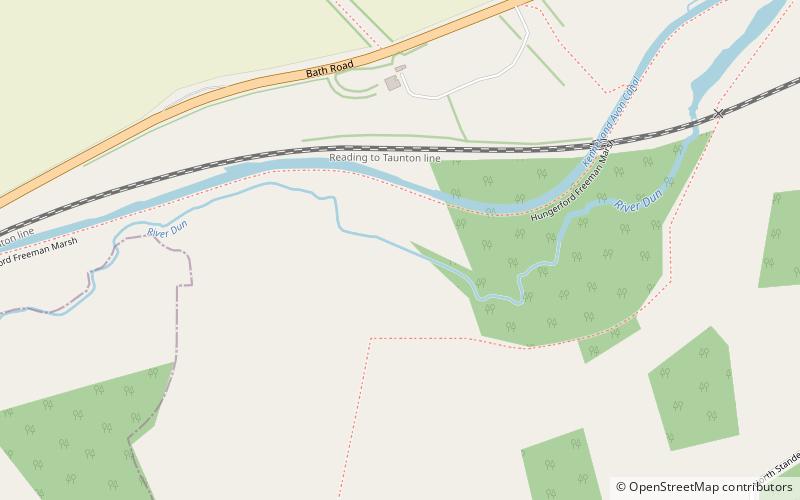
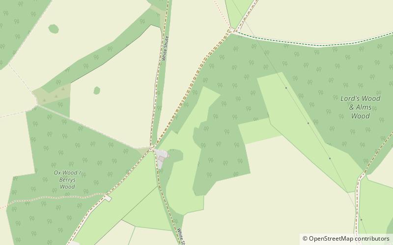
Cleeve Hill is a 4-hectare biological Site of Special Scientific Interest south of Lambourn in Berkshire. ()
Lambourn United Kingdom
Cleeve Hill SSSI – popular in the area (distance from the attraction)
Nearby attractions include: West Berkshire Golf Club, Dun Mill Lock, Hungerford Lock, Ashdown House.
4.5 miEGolfWest Berkshire Golf Club
116 min walk • West Berkshire Golf Club is a golf club, located in Chaddleworth, Berkshire, England. It is located about 3 miles from Woodlands St Mary. It was established in 1975. The course was designed by Robin Stagg and Paul Simpson.
5.3 miSCanalDun Mill Lock
135 min walk • Dun Mill Lock is a lock on the Kennet and Avon Canal, near Hungerford, Berkshire, England. The lock has a rise/fall of 5 ft 8 in. It is a grade II listed building.
4.8 miSCanalHungerford Lock, Hungerford
122 min walk • Hungerford Lock is a lock on the Kennet and Avon Canal, at Hungerford, Berkshire, England. The lock has a rise/fall of 8 ft 0 in.
4.7 miNWHistory museum, Museum, Vernacular architectureAshdown House, Lambourn
119 min walk • Ashdown House is a 17th-century country house in the civil parish of Ashbury in the English county of Oxfordshire. Until 1974 the house was in the county of Berkshire, and the nearby village of Lambourn remains in that county.
4.9 miSCanalHungerford Marsh Lock, Hungerford
126 min walk • Hungerford Marsh Lock is a lock on the Kennet and Avon Canal, at Hungerford, Berkshire, England. The lock has a rise/fall of 8 ft 1 in.
5.5 miSCanalWire Lock
142 min walk • Wire Lock is a lock on the Kennet and Avon Canal, near Hungerford, Berkshire, England. It is a grade II listed building.
6 miNEForts and castlesSegsbury Camp
153 min walk • Segsbury Camp or Segsbury Castle is an Iron Age hill fort on the crest of the Berkshire Downs, near the Ridgeway above Wantage, in the Vale of White Horse district of Oxfordshire, England.
5 miSCanalCobbler's Lock
128 min walk • Cobbler's Lock is a lock on the Kennet and Avon Canal, near Hungerford, Berkshire, England. The lock has a rise/fall of 8 ft 3 in.
4.9 miSLibraryHungerford Library, Hungerford
126 min walk • Hungerford Town Hall is a municipal building in the High Street, Hungerford, Berkshire, England. The town hall, which is the meeting place of Hungerford Town Council, is a Grade II listed building.
5.4 miSCanalPicketfield Lock, Hungerford
137 min walk • Picketfield Lock is a lock on the Kennet and Avon Canal, near Hungerford, Berkshire, England. The lock has a rise/fall of 7 ft 0 in.
4.9 miNWForts and castlesAlfred's Castle
126 min walk • Alfred's Castle is a small Iron Age hill fort, situated at grid reference SU277822, behind Ashdown Park in the civil parish of Ashbury in Oxfordshire. It lies 2–3 km south of the Ridgeway and is protected as a Scheduled Ancient Monument.