West Ham Cemetery, London

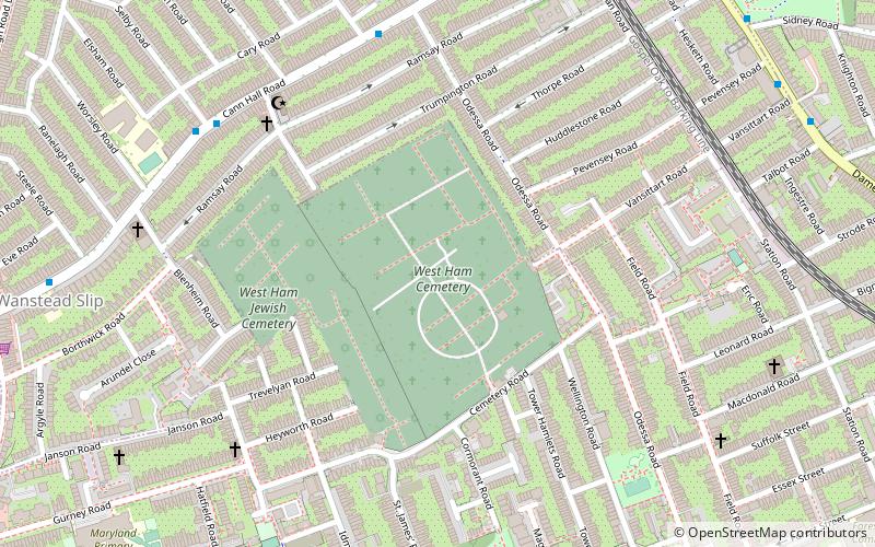
Map
Facts and practical information
West Ham Jewish Cemetery is a cemetery for Jews in West Ham in the London Borough of Newham, England. It was established in 1856 by the New Synagogue on Great St. Helen's, soon joined by the Great Synagogue in Duke's Place, both of them London congregations. ()
Coordinates: 51°33'11"N, 0°0'52"E
Day trips
West Ham Cemetery – popular in the area (distance from the attraction)
Nearby attractions include: Westfield Stratford City, London Aquatics Centre, Stratford Centre, Matchroom Stadium.
Frequently Asked Questions (FAQ)
Which popular attractions are close to West Ham Cemetery?
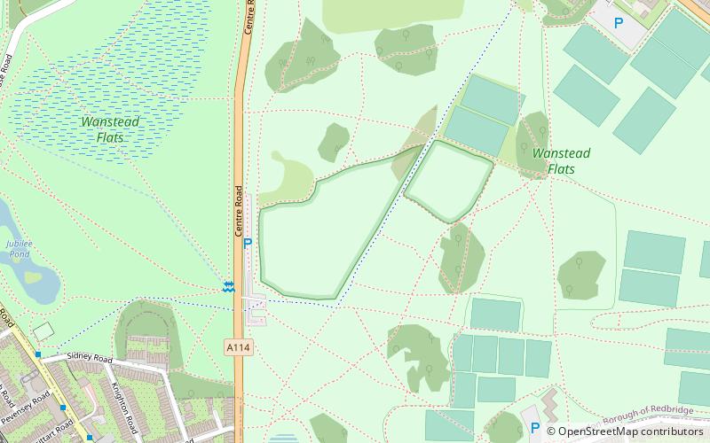
Nearby attractions include Cathall, London (18 min walk), Wanstead Flats, London (18 min walk), Woodgrange Baptist Church, London (19 min walk), Stratford City, London (23 min walk).
How to get to West Ham Cemetery by public transport?
The nearest stations to West Ham Cemetery:
Bus
Train
Metro
Light rail
Bus
- Buxton School • Lines: 58 (6 min walk)
- Selby Road • Lines: 58 (6 min walk)
Train
- Forest Gate (12 min walk)
- Wanstead Park (14 min walk)
Metro
- Leyton • Lines: Central (23 min walk)
- Leytonstone • Lines: Central (29 min walk)
Light rail
- Stratford Platform 16 • Lines: Si-Wa (29 min walk)
 Tube
Tube


