Wanstead Flats, London
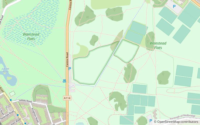
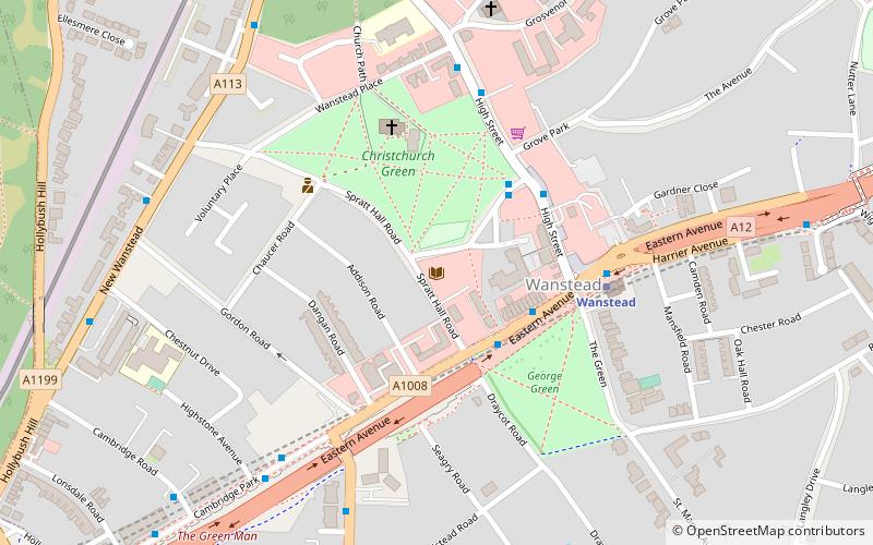
Map
Facts and practical information
Wanstead Flats is the southernmost portion of Epping Forest covering Leytonstone and Wanstead, London. The flats and by extension the forest ends at Forest Gate directly to the south. It now falls wholly within the boundaries of London Borough of Redbridge and London Borough of Waltham Forest, though until 1994 two parts of it were in the London Borough of Newham - one of these was the section between Aldersbrook Road and Capel Road east of the junction between Aldersbrook Road and St Margaret's Road, whilst the other was the strip running along Capel Road between its junctions with Centre Road and Ridley Road. As part of Epping Forest, the flats is managed by the City of London Corporation. ()
Elevation: 43 ft a.s.l.Coordinates: 51°33'30"N, 0°1'41"E
Address
Redbridge (Wanstead)London
ContactAdd
Social media
Add
Getting there by public transportation
Public transportation stops near this location
- Metro
- Bus
- Train
 Metro
Metro
- Calculate routeTalbot Road 10 min walk
- Calculate routePevensey Road 10 min walk
- Calculate routePark Road 10 min walk
- Calculate routeBignold Road 10 min walk
- Calculate routeWanstead Park 12 min walk
- Calculate routeForest Gate 17 min walk
- Calculate routeManor Park 22 min walk
- Calculate routeLeytonstone High Road 24 min walk
- Calculate routeLeytonstone 29 min walk
Maps Tube
Tube
TubeDay trips


Frequently Asked Questions (FAQ)
Which popular attractions are close to Wanstead Flats?
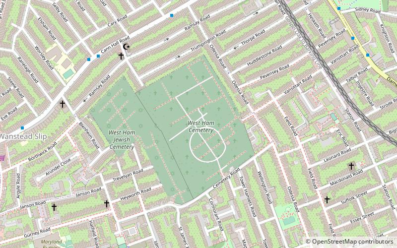
Nearby attractions include West Ham Cemetery, London (18 min walk), Woodgrange Baptist Church, London (20 min walk), Wanstead Park, London (23 min walk).
How to get to Wanstead Flats by public transport?
The nearest stations to Wanstead Flats:
Bus
Train
Metro
Bus
- Talbot Road • Lines: 308, 58 (10 min walk)
- Pevensey Road • Lines: 308, 58 (10 min walk)
Train
- Wanstead Park (12 min walk)
- Forest Gate (17 min walk)
Metro
- Leytonstone • Lines: Central (29 min walk)