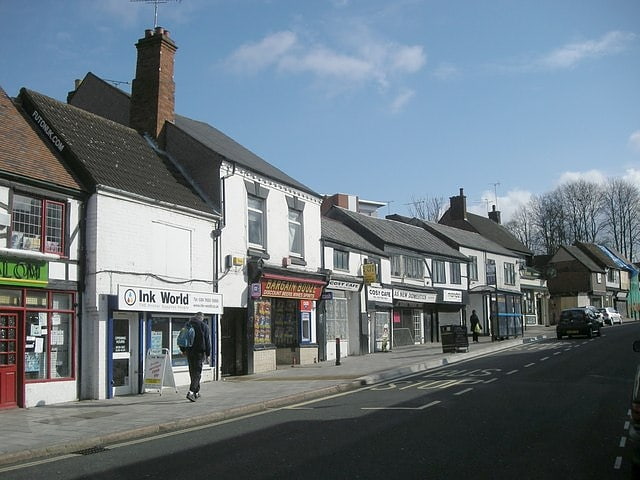
Bulls Head Ground, Coventry
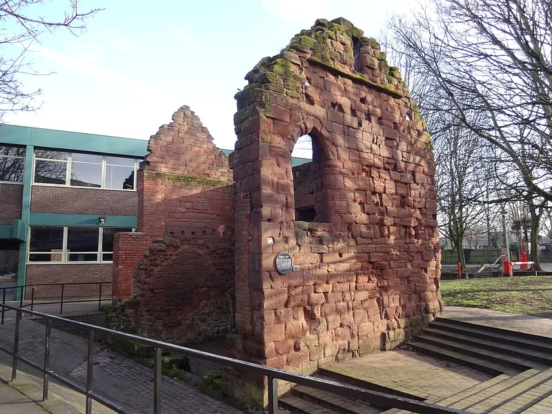
Gallery (1)
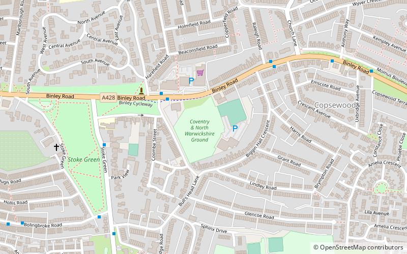
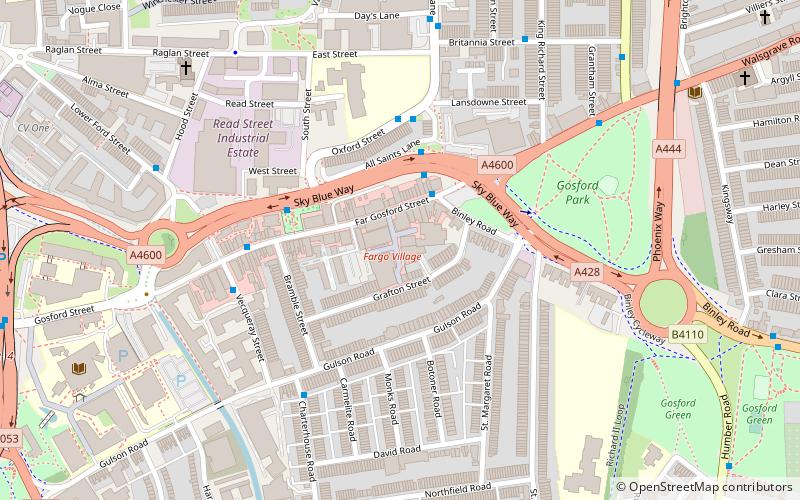
Map
Map
Facts and practical information
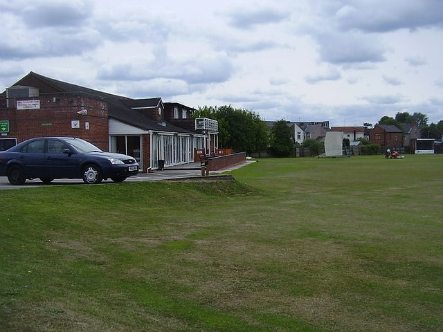
Bulls Head Ground is a cricket ground in Coventry, West Midlands. The first recorded match on the ground was in 1848, when Coventry played an All-England Eleven. It hosted its first first-class match in 1903, which was between Warwickshire and the Gentlemen of Philadelphia. From 1909 to 1919, the ground played host to 12 first-class matches. First-class cricket returned to the Bulls Head in 1990, and from 1990 to 1992 it hosted a further 3 first-class matches, the last of which was between Warwickshire and Middlesex. ()
Coordinates: 52°24'19"N, 1°28'35"W
Address
Binley RoadSouth Coventry (Lower Stoke)Coventry CV3 1HB
Contact
+44 24 7645 4883
Social media
Add
Getting there by public transportation
Public transportation stops near this location
- Bus
 Bus
Bus
- Calculate routeBinley Rd / Bulls Head Lane 3 min walk
- Calculate routeBolingbroke Rd / Stoke Green 7 min walk
- Calculate routeAldermoor Lane / Bulls Head Lane 7 min walk
Day trips


Frequently Asked Questions (FAQ)
Which popular attractions are close to Bulls Head Ground?
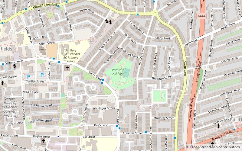
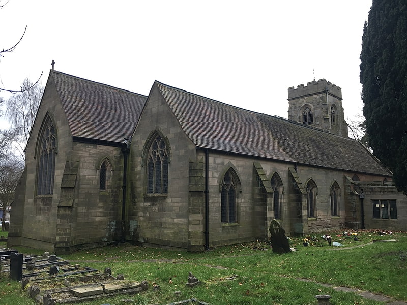
Nearby attractions include Stoke St Michael's Church, Coventry (12 min walk), Gosford Park Children's Centre, Coventry (13 min walk), The Charterhouse, Coventry (22 min walk), Primrose Hill Park, Coventry (22 min walk).
How to get to Bulls Head Ground by public transport?
The nearest stations to Bulls Head Ground:
Bus
Bus
- Binley Rd / Bulls Head Lane • Lines: 13, 13A, 85, 85B, 86 (3 min walk)
- Bolingbroke Rd / Stoke Green • Lines: 3 (7 min walk)