Patricroft, Sale
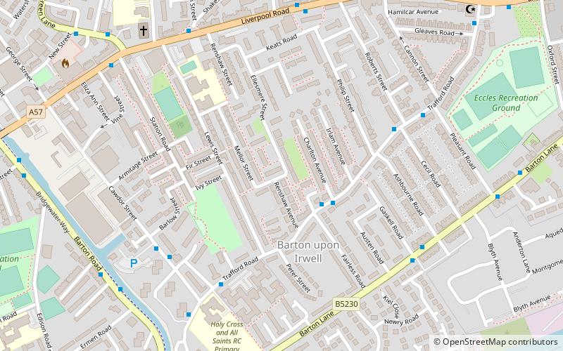
Map
Facts and practical information
Patricroft is a suburb near Eccles, Greater Manchester, England. ()
Coordinates: 53°28'48"N, 2°21'4"W
Address
Salford (Barton)Sale
ContactAdd
Social media
Add
Getting there by public transportation
Public transportation stops near this location
- Bus
- Tram
- Train
 Bus
Bus
- Calculate routeLiverpool Road/Milton Street 6 min walk
- Calculate routeChurch Street/Trafford Road 10 min walk
- Calculate routePatricroft 11 min walk
- Calculate routeEccles 21 min walk
- Calculate routeEccles 19 min walk
- Calculate routeThe Trafford Centre 22 min walk
- Calculate routeLadywell 27 min walk
- Calculate routeBarton Dock Road 27 min walk
Day trips


Frequently Asked Questions (FAQ)
Which popular attractions are close to Patricroft?
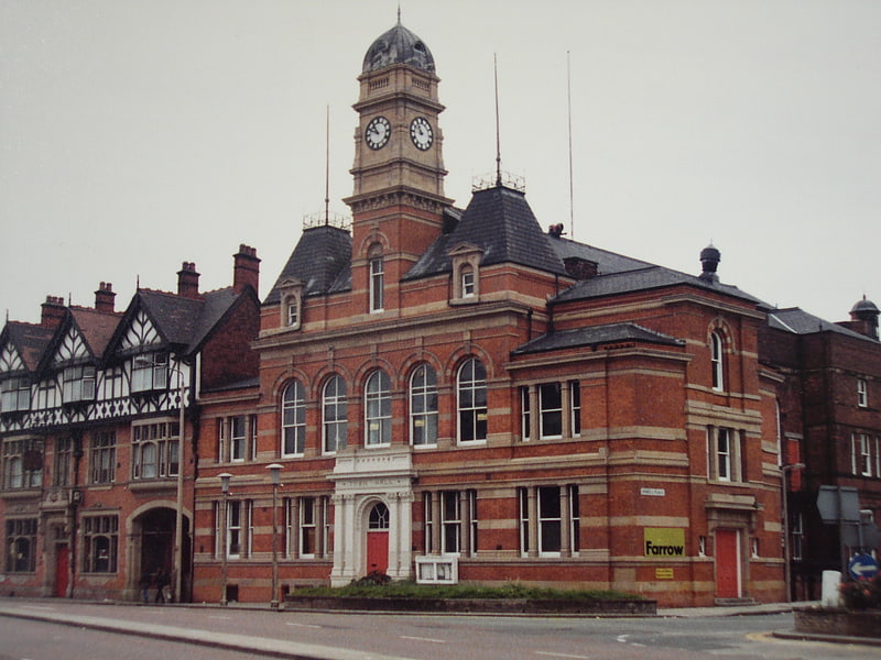
Nearby attractions include Barton Swing Aqueduct, Manchester (10 min walk), Barton Road Swing Bridge, Manchester (11 min walk), All Saints' Church, Manchester (13 min walk), Eccles Town Hall, Manchester (14 min walk).
How to get to Patricroft by public transport?
The nearest stations to Patricroft:
Bus
Train
Tram
Bus
- Liverpool Road/Milton Street • Lines: 33B (6 min walk)
- Church Street/Trafford Road • Lines: 33B (10 min walk)
Train
- Patricroft (11 min walk)
- Eccles (21 min walk)
Tram
- Eccles • Lines: Asht, Eccl (19 min walk)
- The Trafford Centre • Lines: Corn, TrfC (22 min walk)