Parsloes Park, Dagenham
Map

Map

Facts and practical information
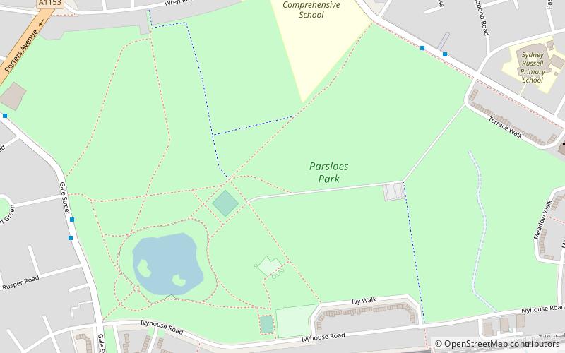
Parsloes Park is a 58 hectare public park in Dagenham in the London Borough of Barking and Dagenham. It is owned and managed by the borough council. A small area opposite the Wren Road entrance is managed for wildlife and designated as a Local Nature Reserve called Parsloes Park Squatts. ()
Elevation: 16 ft a.s.l.Coordinates: 51°32'39"N, 0°7'59"E
Address
Barking and Dagenham (Parsloes)Dagenham
ContactAdd
Social media
Add
Day trips
Parsloes Park – popular in the area (distance from the attraction)
Nearby attractions include: Mayesbrook Park, Capital Karts, Valence House Museum, Dagenham Roundhouse.
Frequently Asked Questions (FAQ)
How to get to Parsloes Park by public transport?
The nearest stations to Parsloes Park:
Bus
Metro
Bus
- Fanshawe Crescent • Lines: 364 (7 min walk)
- Rusper Road • Lines: 145, 62 (8 min walk)
Metro
- Becontree • Lines: District (11 min walk)
- Dagenham Heathway • Lines: District (15 min walk)


