St Peter and St Paul, London
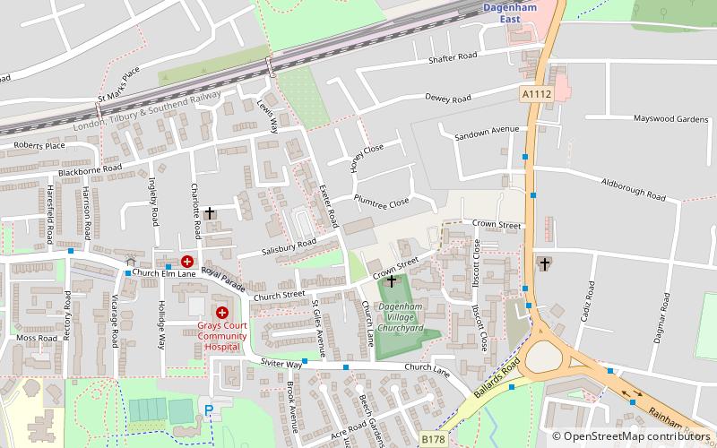
Map

Map

Facts and practical information
St. Peter and St. Paul known commonly as Dagenham Parish Church, is a Church of England parish church in the London Borough of Barking and Dagenham, England, formerly part of Essex. It is of medieval origin, largely rebuilt at the beginning of the nineteenth century. ()
Coordinates: 51°32'26"N, 0°9'41"E
Address
Church LnBarking and Dagenham (Village)London RM10 9UL
Contact
+44 20 8215 2962
Social media
Add
Day trips
St Peter and St Paul – popular in the area (distance from the attraction)
Nearby attractions include: Eastbrookend Country Park, The Chase Nature Reserve, Parsloes Park, Beam Valley Country Park.
Frequently Asked Questions (FAQ)
Which popular attractions are close to St Peter and St Paul?
Nearby attractions include Dagenham Village Churchyard, London (3 min walk), Beam Valley Country Park, Dagenham (18 min walk).
How to get to St Peter and St Paul by public transport?
The nearest stations to St Peter and St Paul:
Bus
Metro
Train
Bus
- St Giles Avenue • Lines: 145 (4 min walk)
- Aldborough Road • Lines: 103, 364 (5 min walk)
Metro
- Dagenham East • Lines: District (8 min walk)
Train
- Dagenham Dock (31 min walk)

 Tube
Tube


