Thornes Park, Wakefield
Map

Map

Facts and practical information
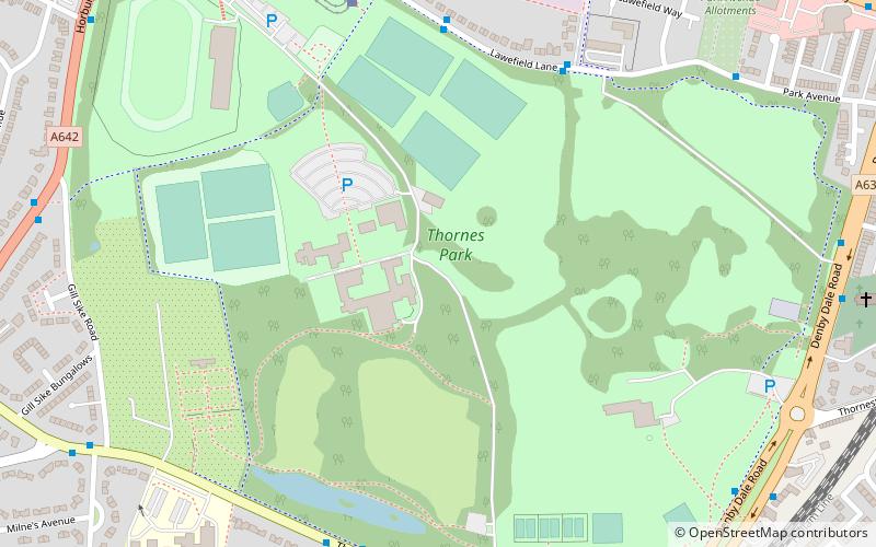
Thornes Park is a large public park situated close to the centre of Wakefield, West Yorkshire, England. Along with Clarence Park and Holmfield Park it forms a large parkland to the south west of the city. ()
Elevation: 167 ft a.s.l.Coordinates: 53°40'24"N, 1°30'38"W
Address
Wakefield WestWakefield
ContactAdd
Social media
Add
Day trips
Thornes Park – popular in the area (distance from the attraction)
Nearby attractions include: Trinity Walk, Sandal Castle, The Hepworth Wakefield, Wakefield Cathedral.
Frequently Asked Questions (FAQ)
Which popular attractions are close to Thornes Park?
Nearby attractions include Wakefield Castle, Wakefield (4 min walk), Albion Mills Retail Park, Wakefield (13 min walk), Theatre Royal Wakefield, Wakefield (18 min walk), The Hepworth Wakefield, Wakefield (21 min walk).
How to get to Thornes Park by public transport?
The nearest stations to Thornes Park:
Bus
Train
Bus
- C3A Charlesworth Way Cineworld • Lines: Wcb (10 min walk)
- C3 Wakefield Charlesworth Way • Lines: Wcb (11 min walk)
Train
- Wakefield Westgate (17 min walk)
- Wakefield Kirkgate (25 min walk)


