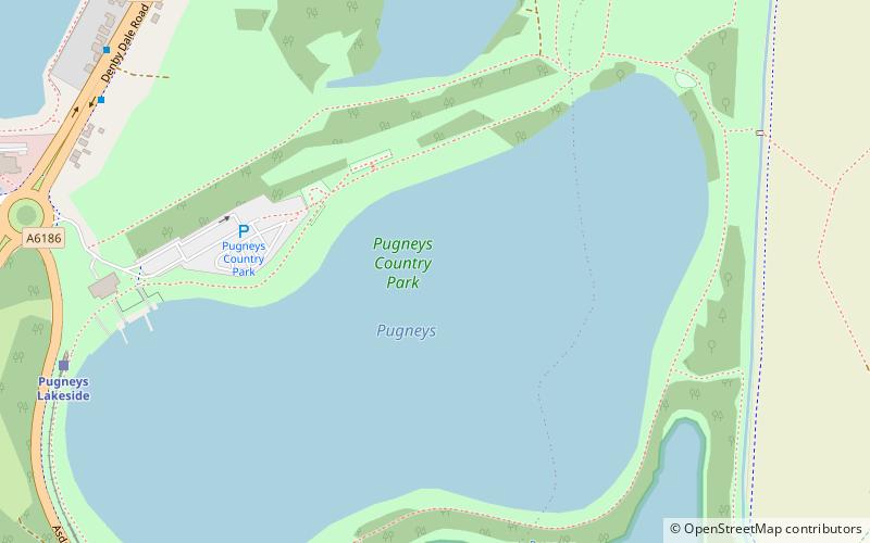
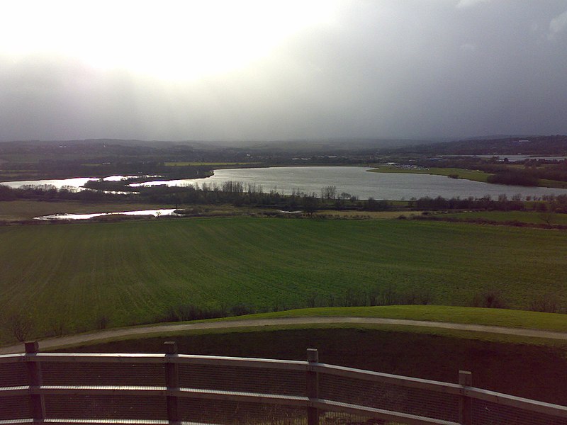
Pugneys Country Park, Wakefield

Gallery (2)
Map
Map
Gallery
Facts and practical information
Pugneys Country Park is a 250-acre park located on the A636 between Wakefield, West Yorkshire, England and Junction 39 of the M1 motorway. It is a Local Nature Reserve. ()
Elevation: 75 ft a.s.l.Coordinates: 53°39'27"N, 1°30'16"W
Address
CrigglestoneWakefield
ContactAdd
Social media
Add
Getting there by public transportation
Public transportation stops near this location
- Bus
- Train
 Bus
Bus
- Calculate routePugneys Lakeside 8 min walk
- Calculate routePugneys Central 9 min walk
- Calculate routeSandal and Agbrigg 27 min walk
- Calculate routeASDA Supermarket 15 min walk
- Calculate routeStandbridge Lane Kingsley Lane Star PH 18 min walk
- Calculate routeBarnsley Road Milnthorpe Crescent 19 min walk
Day trips


Frequently Asked Questions (FAQ)
How to get to Pugneys Country Park by public transport?
The nearest stations to Pugneys Country Park:
Train
Bus
Train
- Pugneys Lakeside (8 min walk)
- Pugneys Central (9 min walk)
Bus
- ASDA Supermarket • Lines: 110 (15 min walk)
- Standbridge Lane Kingsley Lane Star PH • Lines: 110 (18 min walk)