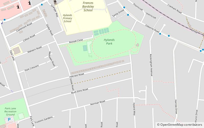
Hylands Park, South Ockendon
Map
Facts and practical information
Hylands Park is a public park in the London Borough of Havering in northwest Hornchurch, near to Romford. It is owned and managed by Havering London Borough Council and has Green Flag Award status. ()
Elevation: 98 ft a.s.l.Coordinates: 51°34'12"N, 0°12'0"E
Address
Havering (Hylands)South Ockendon
ContactAdd
Social media
Add
Getting there by public transportation
Public transportation stops near this location
- Metro
- Bus
- Train
 Metro
Metro
- Calculate routeHail & Ride Hylands Park 6 min walk
- Calculate routeFrances Bardsley Academy 8 min walk
- Calculate routeRomford 22 min walk
- Calculate routeGidea Park 22 min walk
- Calculate routeEmerson Park 23 min walk
- Calculate routeHornchurch 35 min walk
Day trips


Frequently Asked Questions (FAQ)
Which popular attractions are close to Hylands Park?
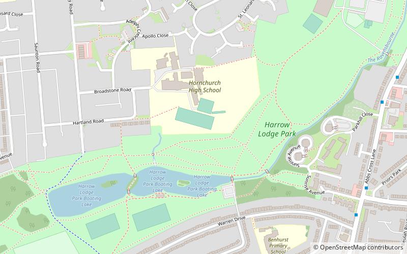
Nearby attractions include Brookside Theatre, London (20 min walk), Langtons, South Ockendon (20 min walk), Lodge Farm Park, Romford (22 min walk), Harrow Lodge Park, South Ockendon (22 min walk).
How to get to Hylands Park by public transport?
The nearest stations to Hylands Park:
Bus
Train
Metro
Bus
- Hail & Ride Hylands Park • Lines: 193 (6 min walk)
- Frances Bardsley Academy • Lines: 165, 193, 294, 674 (8 min walk)
Train
- Romford (22 min walk)
- Gidea Park (22 min walk)
Metro
- Hornchurch • Lines: District (35 min walk)