Mapperley, Nottingham
Map

Map

Facts and practical information
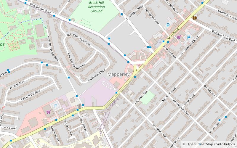
Mapperley is a residential and commercial area of north-eastern Nottingham, England. The area is bounded by Sherwood to the north-west, Thorneywood to the south and Gedling to the east. ()
Coordinates: 52°58'59"N, 1°7'29"W
Address
MapperleyNottingham
ContactAdd
Social media
Add
Day trips
Mapperley – popular in the area (distance from the attraction)
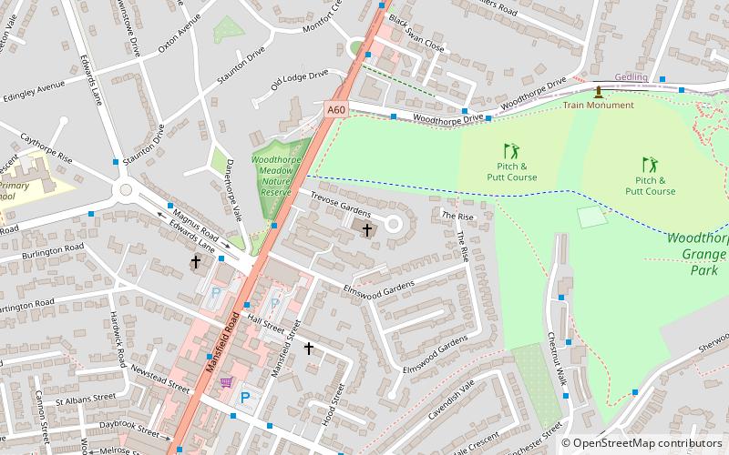
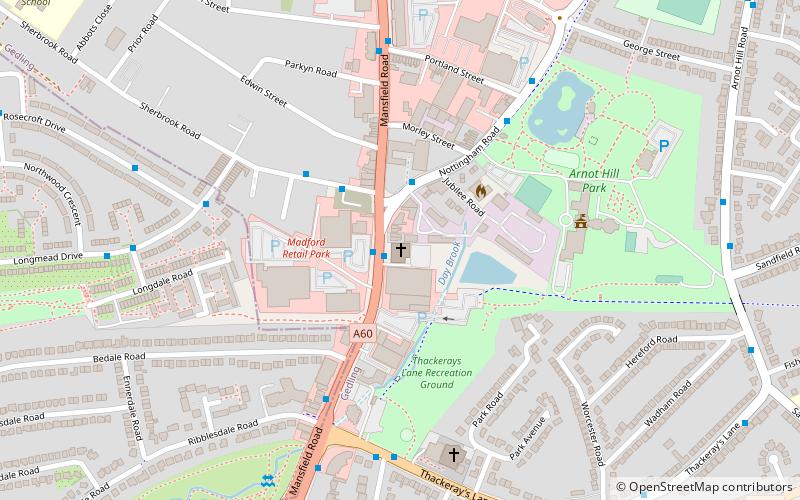
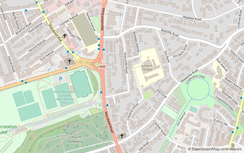
Nearby attractions include: St Paul's Church, Woodthorpe Grange Park, St Andrew's Church, St Jude's Church.
Frequently Asked Questions (FAQ)
Which popular attractions are close to Mapperley?
Nearby attractions include Mapperley Methodist Church, Nottingham (4 min walk), Woodthorpe Grange Park, Nottingham (13 min walk), St Jude's Church, Nottingham (18 min walk), St Martin's Church, Nottingham (19 min walk).
How to get to Mapperley by public transport?
The nearest stations to Mapperley:
Bus
Bus
- Whittingham Road • Lines: 45, 46, 47, N27 (2 min walk)
- Robinson Road • Lines: 45, 46, 47, L9 (2 min walk)


