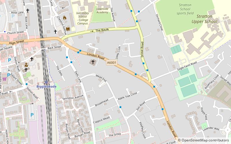
Biggleswade Urban District, Biggleswade

Map
Facts and practical information
The town of Biggleswade in Bedfordshire, England was administered as a Local Government District from 1892 to 1894 and an Urban District from 1894 to 1974. ()
Coordinates: 52°5'8"N, 0°15'21"W
Address
Biggleswade
ContactAdd
Social media
Add
Day trips
Biggleswade Urban District – popular in the area (distance from the attraction)
Nearby attractions include: Church of St Andrew, Biggleswade Cemetery, Shortmead House, Stratton Park Moated Enclosure.
Frequently Asked Questions (FAQ)
Which popular attractions are close to Biggleswade Urban District?
Nearby attractions include Biggleswade Cemetery, Biggleswade (8 min walk), Church of St Andrew, Biggleswade (14 min walk), Stratton Park Moated Enclosure, Biggleswade (24 min walk).


