Ringley, Bolton
Map
Facts and practical information
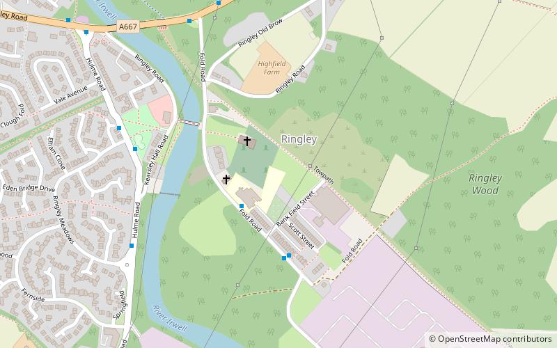
Ringley is near Kearsley in Greater Manchester, England, on the east bank of the River Irwell. Its Anglican church is St Saviour's. Ringley is linked by road to Stoneclough by the A667 road which crosses the River Irwell on Ringley road bridge which is a short distance upstream from the 17th century Ringley Old Bridge. ()
Coordinates: 53°32'35"N, 2°21'22"W
Address
Bolton
ContactAdd
Social media
Add
Getting there by public transportation
Public transportation stops near this location
- Bus
- Train
 Bus
Bus
- Calculate routeKearsley 21 min walk
- Calculate routeRadcliffe Bus Station 41 min walk
Day trips


Frequently Asked Questions (FAQ)
Which popular attractions are close to Ringley?
Nearby attractions include St Saviour's Church, Manchester (2 min walk), Scheduled monuments in Greater Manchester, Manchester (2 min walk), Ringley Old Bridge, Manchester (4 min walk), Kearsley, Manchester (18 min walk).
How to get to Ringley by public transport?
The nearest stations to Ringley:
Train
Bus
Train
- Kearsley (21 min walk)
Bus
- Radcliffe Bus Station • Lines: 98 (41 min walk)