Park Square, Sheffield
Map

Gallery

Facts and practical information
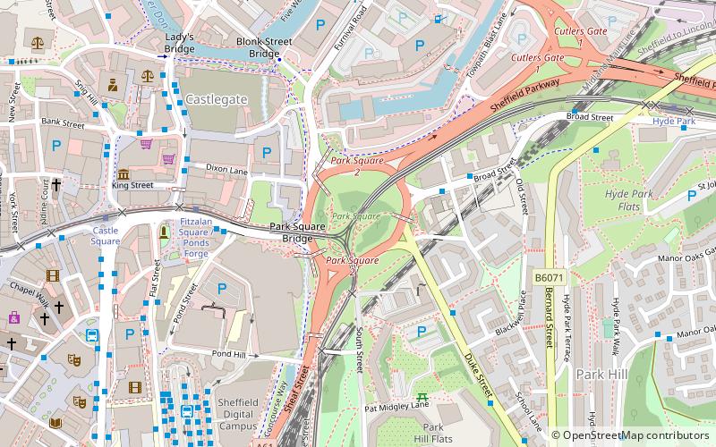
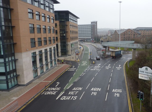
Park Square is a major roundabout in Sheffield, England. The Sheffield Parkway, a major road from M1 Junction 33, terminates here. It is located next to Ponds Forge and Victoria Quays. ()
Coordinates: 53°22'59"N, 1°27'36"W
Address
Manor CastleSheffield
ContactAdd
Social media
Add
Day trips
Park Square – popular in the area (distance from the attraction)
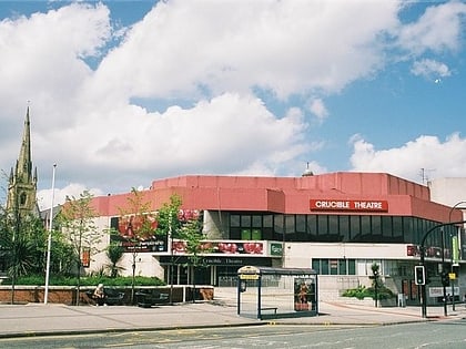
Nearby attractions include: Ponds Forge, Crucible Theatre, Castle Square, Upper Don Walk.
Frequently Asked Questions (FAQ)
Which popular attractions are close to Park Square?
Nearby attractions include Fitzalan Square, Sheffield (2 min walk), Park Square Bridge, Sheffield (2 min walk), Castlegate Quarter, Sheffield (3 min walk), Victoria Quays, Sheffield (4 min walk).
How to get to Park Square by public transport?
The nearest stations to Park Square:
Bus
Tram
Train
Bus
- Broad Street/Park Square • Lines: 74A, A1, X74 (3 min walk)
- Park Hill • Lines: 56 (3 min walk)
Tram
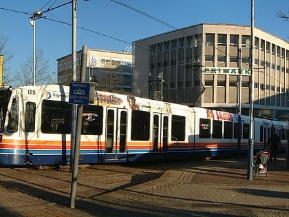
- Fitzalan Square / Ponds Forge • Lines: Blue, Purp, Tt, Yell (5 min walk)
- Castle Square • Lines: Blue, Purp, Tt, Yell (7 min walk)
Train
- Sheffield (9 min walk)


