London Borough of Bromley, Bromley
Map
Facts and practical information
The London Borough of Bromley is the southeasternmost of the London boroughs that make up Greater London, bordering the ceremonial county of Kent, which most of Bromley was part of before 1965. The borough's population is an estimated 332,336. It is named after Bromley, its principal town; other major towns are Penge, Hayes, West Wickham, Chislehurst, Beckenham and Orpington. The local authority is Bromley London Borough Council. ()
Address
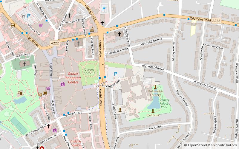
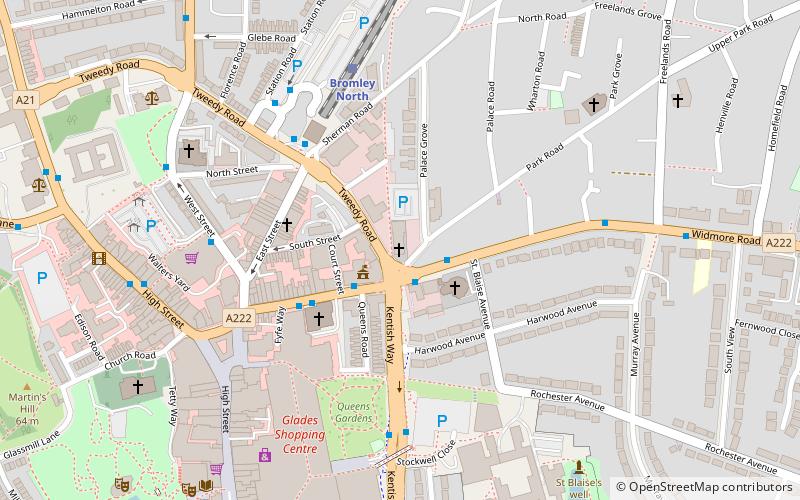
Bromley (Bromley Town)Bromley
ContactAdd
Social media
Add
Getting there by public transportation
Public transportation stops near this location
- Bus
- Train
 Bus
Bus
- Calculate routeBromley Civic Centre 2 min walk
- Calculate routeWidmore Road / Kentish Way 4 min walk
- Calculate routeBromley Town Hall 5 min walk
- Calculate routeElmfield Road / The Mall 6 min walk
- Calculate routeBromley South 8 min walk
- Calculate routeBromley North 9 min walk
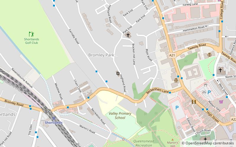
- Calculate routeSundridge Park 17 min walk
- Calculate routeShortlands 20 min walk
Day trips


Frequently Asked Questions (FAQ)
Which popular attractions are close to London Borough of Bromley?
Nearby attractions include Bromley Palace, Bromley (2 min walk), Bromley Baptist Church, Bromley (5 min walk), Churchill Theatre, Bromley (7 min walk), St Peter and St Paul, London (8 min walk).
How to get to London Borough of Bromley by public transport?
The nearest stations to London Borough of Bromley:
Bus
Train
Bus
- Bromley Civic Centre • Lines: 119, 126, 138, 146, 162, 208, 246, 261, 314, 320, 336, 352, 358, 367, 61, 638, N199, N3 (2 min walk)
- Widmore Road / Kentish Way • Lines: 162, 269 (4 min walk)
Train
- Bromley South (8 min walk)
- Bromley North (9 min walk)