The Night Out Theatre Restaurant, Birmingham

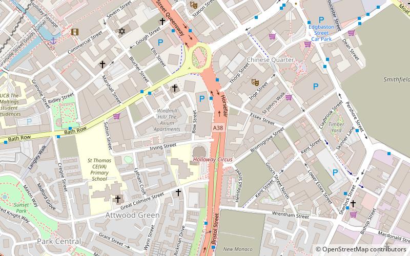
Map
Facts and practical information
The Night Out Theatre Restaurant in Horsefair, Birmingham, was one of the country's premier cabaret venues throughout the 1970s and early 1980s. ()
Coordinates: 52°28'23"N, 1°54'1"W
Address
LadywoodBirmingham
ContactAdd
Social media
Add
Day trips
The Night Out Theatre Restaurant – popular in the area (distance from the attraction)
Nearby attractions include: Bull Ring, The Mailbox, St Martin in the Bull Ring, Grand Central.
Frequently Asked Questions (FAQ)
Which popular attractions are close to The Night Out Theatre Restaurant?
Nearby attractions include St Catherine of Siena Church, Birmingham (2 min walk), The Sentinels, Birmingham (3 min walk), Birmingham Hippodrome, Birmingham (4 min walk), Patrick Centre, Birmingham (4 min walk).
How to get to The Night Out Theatre Restaurant by public transport?
The nearest stations to The Night Out Theatre Restaurant:
Bus
Train
Tram
Bus
- Hf2 • Lines: 63 (2 min walk)
- Hf1 • Lines: 63 (3 min walk)
Train
- Birmingham New Street (9 min walk)
- Birmingham Moor Street (14 min walk)
Tram
- Grand Central • Lines: 1 (10 min walk)
- Town Hall • Lines: 1 (12 min walk)


