Downswood, Maidstone

Map
Facts and practical information
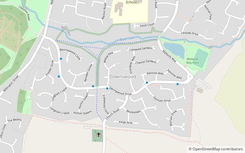
Downswood is a civil parish in the Borough of Maidstone in Kent, England. The population of the civil parish as of the 2011 census is 2,291. It is bounded to the north by the River Len and Bearsted, and to the south by Otham, and is 2 miles from Maidstone, the county town of Kent. Downswood has been a parish in its own right since 1987. Prior to this it was part of the civil parish of Otham. ()
Address
DownswoodMaidstone
ContactAdd
Social media
Add
Day trips
Downswood – popular in the area (distance from the attraction)
Nearby attractions include: Mote Park, Vinters Valley Park, Bearsted, Holy Cross Church.
Frequently Asked Questions (FAQ)
Which popular attractions are close to Downswood?
Nearby attractions include St Nicholas's Church, Maidstone (5 min walk), Stoneacre, Maidstone (21 min walk), Mote Park, Maidstone (21 min walk).
How to get to Downswood by public transport?
The nearest stations to Downswood:
Train
Train
- Bearsted (32 min walk)


