Burley Branch Library, Leeds
Map
Facts and practical information
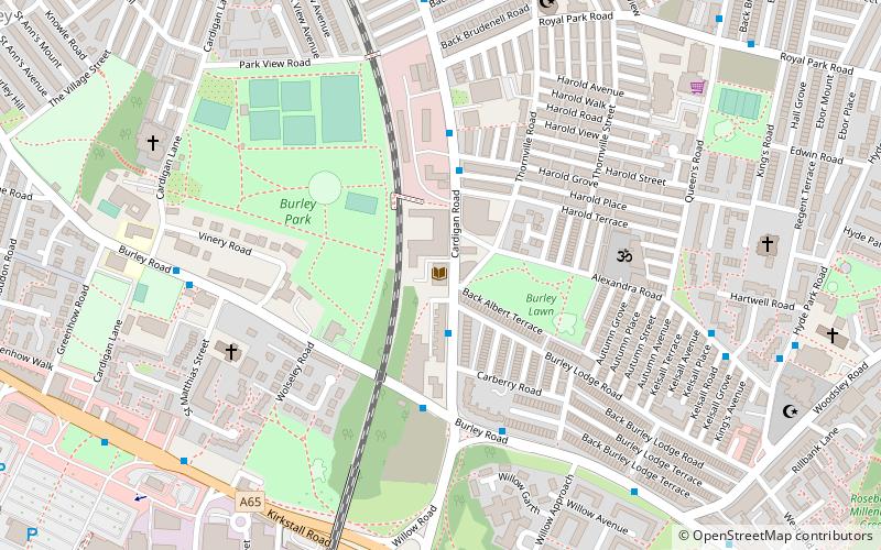
The Burley Branch Library was open on Cardigan Road, Burley, Leeds, West Yorkshire, between 1926 and 2016. It was established on vacant industrial land adjacent to a printing works and railway depot by Leeds City Council, and was majority financed by Carnegie. It is built to a design by Gilbert Burdett Howcroft. The Council closed the library in February 2016 due to its poor condition and being surplus to operational requirements. The building was listed at Grade II in 2017 and remains awaiting redevelopment. ()
Coordinates: 53°48'28"N, 1°34'30"W
Address
University (Hyde Park)Leeds
ContactAdd
Social media
Add
Getting there by public transportation
Public transportation stops near this location
- Bus
- Train
- Ferry
 Bus
Bus
- Calculate routeKirkstall Road Burley Place 7 min walk
- Calculate routeKirkstall Road Willow Road 7 min walk
- Calculate routeViaduct Road Burley Place 8 min walk
- Calculate routeBurley Place Viaduct Road 8 min walk
- Calculate routeBurley Park 9 min walk
- Calculate routeHeadingley 27 min walk
- Calculate routeLeeds 37 min walk
- Calculate routeLeeds Water Taxi Dock 39 min walk
Day trips


Frequently Asked Questions (FAQ)
Which popular attractions are close to Burley Branch Library?
Nearby attractions include Burley, Leeds (3 min walk), St Margaret of Antioch Church, Leeds (4 min walk), St Matthias' Church, Leeds (5 min walk), Leeds Grand Mosque, Leeds (8 min walk).
How to get to Burley Branch Library by public transport?
The nearest stations to Burley Branch Library:
Bus
Train
Ferry
Bus
- Kirkstall Road Burley Place • Lines: 33, 34, A1 (7 min walk)
- Kirkstall Road Willow Road • Lines: 14, 33, 34, A1 (7 min walk)
Train
- Burley Park (9 min walk)
- Headingley (27 min walk)
Ferry
- Leeds Water Taxi Dock • Lines: Leeds Dock Water Taxi (39 min walk)