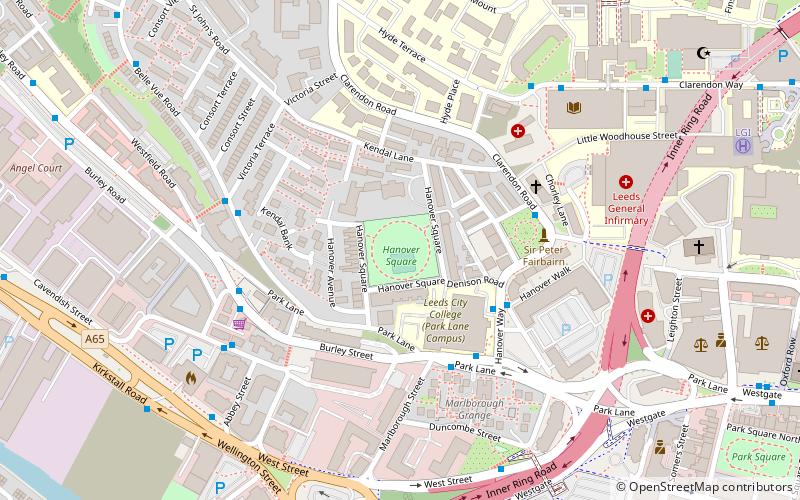
Hanover Square, Leeds
Map

Map

Facts and practical information
Hanover Square is a large Georgian public square and gardens in Leeds, West Yorkshire, United Kingdom. ()
Elevation: 194 ft a.s.l.Coordinates: 53°48'5"N, 1°33'35"W
Address
University (Hyde Park)Leeds
ContactAdd
Social media
Add
Day trips
Hanover Square – popular in the area (distance from the attraction)
Nearby attractions include: The Light, The White Rose Way, Leeds War Memorial, Leeds Town Hall.
Frequently Asked Questions (FAQ)
Which popular attractions are close to Hanover Square?
Nearby attractions include Josephs Well, Leeds (4 min walk), Hostel of the Resurrection, Leeds (6 min walk), Grosvenor Westgate, Leeds (7 min walk), School of Geography, Leeds (8 min walk).
How to get to Hanover Square by public transport?
The nearest stations to Hanover Square:
Bus
Train
Ferry
Bus
- Park Lane Park Lane College • Lines: 50 (3 min walk)
- Clarendon Way Dental Hospital • Lines: Lcb (5 min walk)
Train
- Leeds (17 min walk)
- Burley Park (27 min walk)
Ferry
- Leeds Water Taxi Dock • Lines: Leeds Dock Water Taxi (33 min walk)


