Rivacre Valley, Ellesmere Port
Map

Map

Facts and practical information
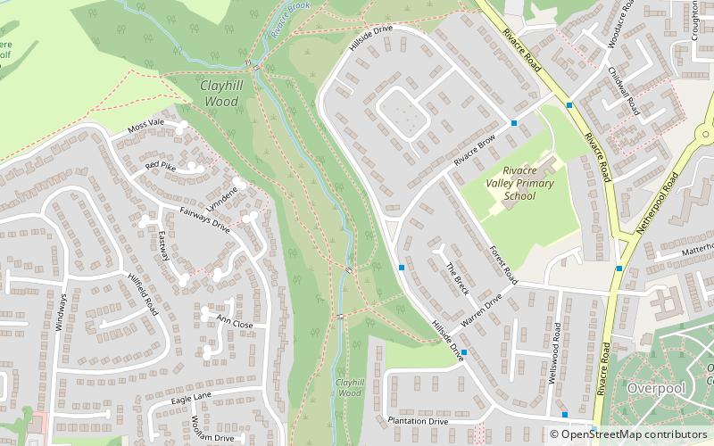
Rivacre Valley is an area of parkland and woodland in Ellesmere Port, Cheshire, England. Named after the Rivacre Brook which runs through a valley in this area, the park is an established wildlife habitat and local nature reserve. The park is over 300 acres and comprises meadow and several areas of woodland. Church Wood, to the north west, is separated from the rest of the park by a golf course. The site also features an orienteering course. ()
Elevation: 85 ft a.s.l.Coordinates: 53°17'24"N, 2°55'48"W
Address
Ellesmere Port
ContactAdd
Social media
Add
Day trips
Rivacre Valley – popular in the area (distance from the attraction)
Nearby attractions include: National Waterways Museum, Cheshire Oaks Designer Outlet, Blue Planet Aquarium, Eastham Country Park.
Frequently Asked Questions (FAQ)
How to get to Rivacre Valley by public transport?
The nearest stations to Rivacre Valley:
Train
Bus
Train
- Overpool (13 min walk)
- Little Sutton (17 min walk)
Bus
- Vale Road • Lines: 2 (35 min walk)
- Bus Station • Lines: 2 (39 min walk)


