Butler's Hill, Hucknall

Map
Facts and practical information
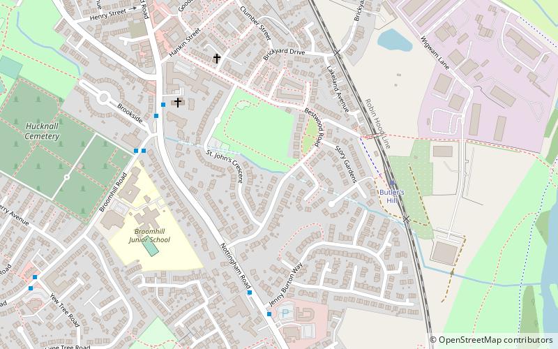
Butler's Hill is a residential area near to the town centre of Hucknall. It is approximately seven miles north-west of Nottingham, England. ()
Coordinates: 53°1'44"N, 1°11'31"W
Address
Hucknall
ContactAdd
Social media
Add
Day trips
Butler's Hill – popular in the area (distance from the attraction)
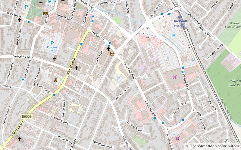
Nearby attractions include: Church of St Mary Magdalene, Church of St John the Evangelist, Moor Bridge tram stop, Hucknall Sixth Form Centre.
Frequently Asked Questions (FAQ)
Which popular attractions are close to Butler's Hill?
Nearby attractions include Church of St John the Evangelist, Hucknall (4 min walk), Hucknall Sixth Form Centre, Hucknall (16 min walk), Church of St Mary Magdalene, Hucknall (24 min walk).


