Dykebar, Paisley
Map
Facts and practical information
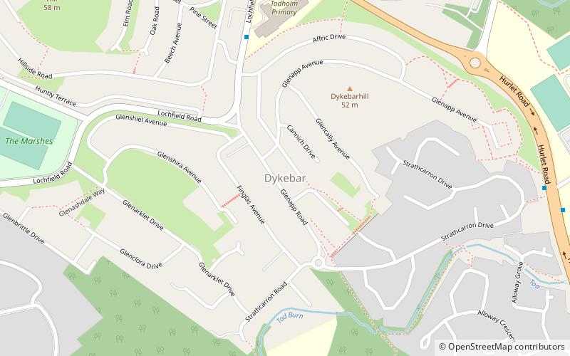
Dykebar is a small residential estate at the south-easternmost periphery of Paisley, Renfrewshire, Scotland, close to the local authority boundaries with both East Renfrewshire and Glasgow. It is situated next to the Hawkhead area, with other neighbourhoods in the vicinity including Thornly Park, Lochfield, Hunterhill and Blackhall. Dykebar is home to Paisley's general psychiatric hospital, and is approximately 1.2 miles from both Barrhead and Nitshill. ()
Coordinates: 55°49'46"N, 4°24'8"W
Address
Paisley
ContactAdd
Social media
Add
Getting there by public transportation
Public transportation stops near this location
- Bus
- Train
 Bus
Bus
- Calculate routeHawkhead 23 min walk
- Calculate routePaisley Canal 29 min walk
- Calculate routeBarshaw Park Middle 31 min walk
- Calculate routeAlton Road 31 min walk
- Calculate routeOldhall Road 32 min walk
- Calculate routeCouncil HQ 34 min walk
Day trips


Frequently Asked Questions (FAQ)
Which popular attractions are close to Dykebar?
Nearby attractions include Blackhall Manor, Paisley (18 min walk), River Cart Aqueduct, Paisley (20 min walk).
How to get to Dykebar by public transport?
The nearest stations to Dykebar:
Train
Bus
Train
- Hawkhead (23 min walk)
- Paisley Canal (29 min walk)
Bus
- Barshaw Park Middle • Lines: 38 (31 min walk)
- Alton Road • Lines: 38, 38A (31 min walk)