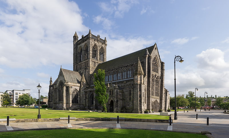
River Cart Aqueduct, Paisley

Gallery (1)
Map
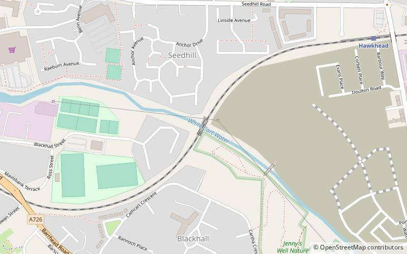
Map
Facts and practical information
The River Cart Aqueduct, sometimes known as the Blackhall Bridge, is a railway bridge and former navigable aqueduct in Paisley, Renfrewshire, Scotland. It opened in 1811 as an aqueduct to carry the Glasgow, Paisley and Johnstone Canal over the White Cart Water. Following the closure of the canal in 1881, it was converted to a railway bridge in 1885, and now carries the Paisley Canal Line. It is registered as a Category A listed building by Historic Environment Scotland. ()
Opened: 1811 (215 years ago)Height: 30 ftCoordinates: 55°50'24"N, 4°24'23"W
Address
Paisley
ContactAdd
Social media
Add
Getting there by public transportation
Public transportation stops near this location
- Bus
- Train
 Bus
Bus
- Calculate routeHawkhead 8 min walk
- Calculate routePaisley Canal 18 min walk
- Calculate routeBarshaw Central 19 min walk
- Calculate routePaisley Gilmour Street 23 min walk
- Calculate routeIceland 12 min walk
- Calculate routeKelburne Oval 13 min walk
- Calculate routeGlasgow Rd 13 min walk
- Calculate routePaisley Grammar 14 min walk
Day trips


Frequently Asked Questions (FAQ)
Which popular attractions are close to River Cart Aqueduct?
Nearby attractions include Blackhall Manor, Paisley (7 min walk), St Matthew's Church, Paisley (16 min walk), Abbey Bridge, Paisley (16 min walk), Paisley Abbey, Paisley (17 min walk).
How to get to River Cart Aqueduct by public transport?
The nearest stations to River Cart Aqueduct:
Train
Bus
Train
- Hawkhead (8 min walk)
- Paisley Canal (18 min walk)
Bus
- Iceland • Lines: 38 (12 min walk)
- Kelburne Oval • Lines: 38, 38A (13 min walk)