Aire Park, Leeds
Map
Gallery
Facts and practical information
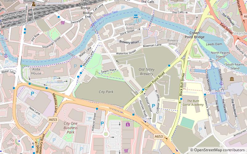
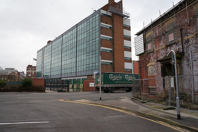
Aire Park is a planned new public open space in Hunslet, south of the city centre of Leeds, West Yorkshire, England. Being developed by the international real estate organisation Vastint, it will mostly occupy the abandoned brownfield site of the former Tetley's Brewery. It is named after the River Aire, which flows nearby. ()
Elevation: 102 ft a.s.l.Coordinates: 53°47'31"N, 1°32'23"W
Address
Hunslet (Crown Point)Leeds
ContactAdd
Social media
Add
Day trips
Aire Park – popular in the area (distance from the attraction)
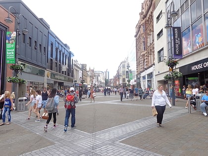
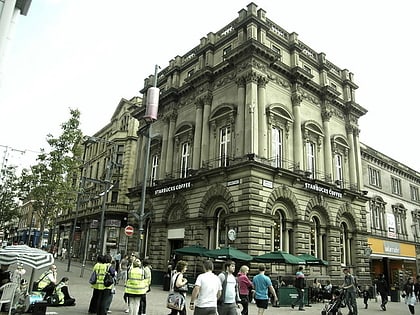
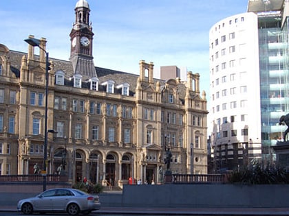
Nearby attractions include: Briggate, Leeds Corn Exchange, Leeds Kirkgate Market, The Tetley.
Frequently Asked Questions (FAQ)
Which popular attractions are close to Aire Park?
Nearby attractions include The Tetley, Leeds (1 min walk), Salem Chapel, Leeds (2 min walk), The Theatre, Leeds (3 min walk), Leeds Bridge, Leeds (5 min walk).
How to get to Aire Park by public transport?
The nearest stations to Aire Park:
Bus
Ferry
Train
Bus
- Crown Point E • Lines: 110, 444, 446 (2 min walk)
- Southbank C • Lines: Pr1, Pr2, Pr3 (4 min walk)
Ferry
- Leeds Water Taxi Dock • Lines: Leeds Dock Water Taxi (9 min walk)
Train
- Leeds (11 min walk)

