Great Stickle
Map

Map

Facts and practical information
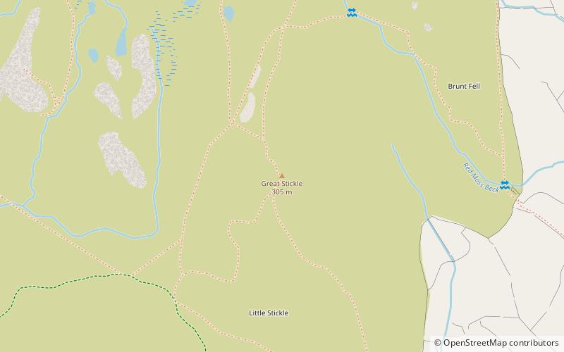
Great Stickle is a fell located in the southern Lake District of England with an altitude of 305 m. Alfred Wainwright included it in the Stickle Pike chapter of his "The Outlying Fells of Lakeland". Geographically the fell is located on the southern ridge of Stickle Pike and is located between the lower Duddon Valley and the valley of Dunnerdale Beck. A "stickle" is a hill with a prominent rocky top. ()
Coordinates: 54°18'50"N, 3°12'47"W
Location
England
ContactAdd
Social media
Add
Day trips
Great Stickle – popular in the area (distance from the attraction)
Nearby attractions include: Wallowbarrow Crag, Brown Pike, Devoke Water, Duddon furnace.


