Hammersmith Broadway, London
Map

Gallery

Facts and practical information
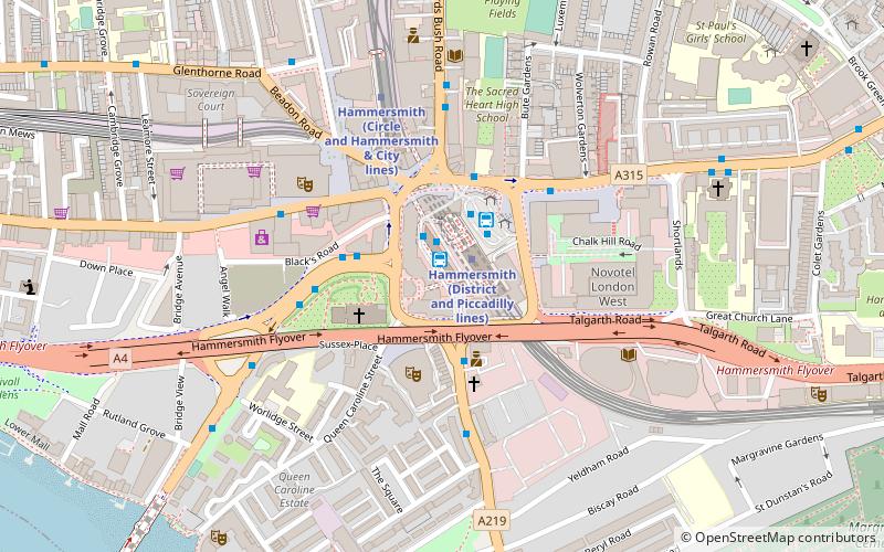
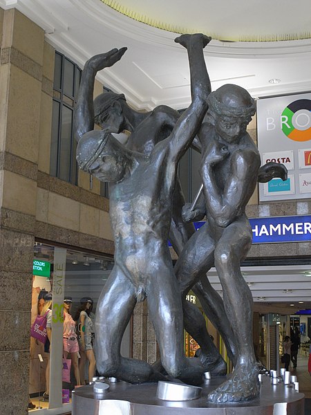
Hammersmith Broadway is a major transport node and shopping centre in Hammersmith, London. ()
Coordinates: 51°29'31"N, 0°13'26"W
Address
1A Beadon Rd, W6 8ABHammersmith and Fulham (Hammersmith Broadway)London
Contact
+44 20 8563 0131
Social media
Add
Day trips
Hammersmith Broadway – popular in the area (distance from the attraction)
Nearby attractions include: Queen's Club, Kings Mall, West 12, Eventim Apollo.
Frequently Asked Questions (FAQ)
Which popular attractions are close to Hammersmith Broadway?
Nearby attractions include Hammersmith flyover, London (2 min walk), St Paul's, London (2 min walk), Eventim Apollo, London (3 min walk), Lyric Hammersmith, London (4 min walk).
How to get to Hammersmith Broadway by public transport?
The nearest stations to Hammersmith Broadway:
Bus
Metro
Train
Bus
- Hammersmith Upper Bus Station (1 min walk)
- Hammersmith Lower Bus Station (2 min walk)
Metro
- Hammersmith • Lines: Circle, District, Hammersmith & City, Piccadilly (3 min walk)
- Barons Court • Lines: District, Piccadilly (11 min walk)
Train
- Shepherd's Bush (26 min walk)

 Tube
Tube


