Stonebeck Down, Nidderdale AONB
#12 among attractions in Nidderdale AONB

Facts and practical information
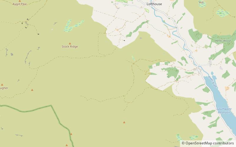
Stonebeck Down is a civil parish in Harrogate district, North Yorkshire, England. The main settlements in the parish are the village of Ramsgill and the hamlets of Stean and Heathfield. The population of the parish in the 2011 census was 192. ()
Nidderdale AONB United Kingdom
Stonebeck Down – popular in the area (distance from the attraction)
Nearby attractions include: How Stean Gorge, Stump Cross Caverns, Troller's Gill, Mossdale Caverns.
 Canyon Canyon- How Stean Gorge, Nidderdale AONB- 43 min walk • Nestled in the heart of the Yorkshire Dales, How Stean Gorge offers a natural spectacle that beckons the adventurous spirit. This dramatic limestone ravine, carved out over thousands of years by water erosion, is located in the scenic area of Nidderdale AONB, United... 
 Natural attraction, Cave, Park Natural attraction, Cave, Park- Stump Cross Caverns, Yorkshire Dales National Park- 117 min walk • Stump Cross Caverns is a limestone cave system between Wharfedale and Nidderdale in North Yorkshire, England. 
 Nature, Canyon, Natural attraction Nature, Canyon, Natural attraction- Troller's Gill, Yorkshire Dales National Park- 145 min walk • Trollers Gill is a limestone gill or gorge in North Yorkshire, England, close to the village of Skyreholme and 4.7 miles south east of Grassington in the Yorkshire Dales. The gorge, which is 0.5 miles in length, is also known as Trollerdale. 
 Nature, Natural attraction, Cave Nature, Natural attraction, Cave- Mossdale Caverns, Yorkshire Dales National Park- 115 min walk • Mossdale Caverns is a cave system in the Yorkshire Dales, England. It is about 5 kilometres north of Grassington, and east of Conistone, where Mossdale Beck sinks at the base of Mossdale Scar. 
 Nature, Natural attraction, Lake Nature, Natural attraction, Lake- Angram Reservoir- 113 min walk • Angram Reservoir is the first of three reservoirs on the River Nidd in Upper Nidderdale, North Yorkshire, England, the others being Scar House Reservoir and finally the compensation reservoir Gouthwaite Reservoir. 
 Nature, Natural attraction, Mountain Nature, Natural attraction, Mountain- Great Whernside, Yorkshire Dales National Park- 145 min walk • Great Whernside is a fell in the Yorkshire Dales, England, not to be confused with Whernside, some 17 miles to the west. Its summit is the highest point of the eastern flank of Wharfedale above Kettlewell. 
 Nature, Natural attraction, Lake Nature, Natural attraction, Lake- Scar House Reservoir- 108 min walk • Scar House Reservoir is the second of the three reservoirs in Upper Nidderdale, England, the others being Angram Reservoir and Gouthwaite Reservoir. Between them they attract around 150,000 visitors a year. Angram and Scar House were built to supply water to the Bradford area of West Yorkshire, England. 
 Nature, Natural attraction, Mountain Nature, Natural attraction, Mountain- Little Whernside- 144 min walk • Little Whernside is a hill in the Yorkshire Dales, North Yorkshire, England, 2.82 miles north east of Great Whernside. It is on the boundary between the Yorkshire Dales National Park and Nidderdale Area of Outstanding Natural Beauty, and forms part of the watershed between Coverdale and Nidderdale. 
 Concerts and shows, Theater Concerts and shows, Theater- Pateley Playhouse- 139 min walk • The Pateley Playhouse is a small amateur-run theatre in the town of Pateley Bridge in Nidderdale, North Yorkshire, England. The building was initially a Primitive Methodist Chapel but was abandoned in the late 1930s. 
 Nature, Natural attraction, Lake Nature, Natural attraction, Lake- Grimwith Reservoir, Yorkshire Dales National Park- 107 min walk • Grimwith Reservoir is located in the Yorkshire Dales in North Yorkshire, England. It was originally built by the Bradford Corporation as one of eleven reservoirs in the Yorkshire Dales to supply fresh water to Bradford. 
 Nature, Natural attraction, Lake Nature, Natural attraction, Lake- Leighton Reservoir- 167 min walk • Leighton Reservoir is a reservoir which drains via the River Burn to the River Ure in North Yorkshire, England. It neighbours Roundhill Reservoir and is about 4 miles west of Masham. It takes its name from the nearby village of Leighton.