Pwll-coch, Cardiff
Map
Facts and practical information
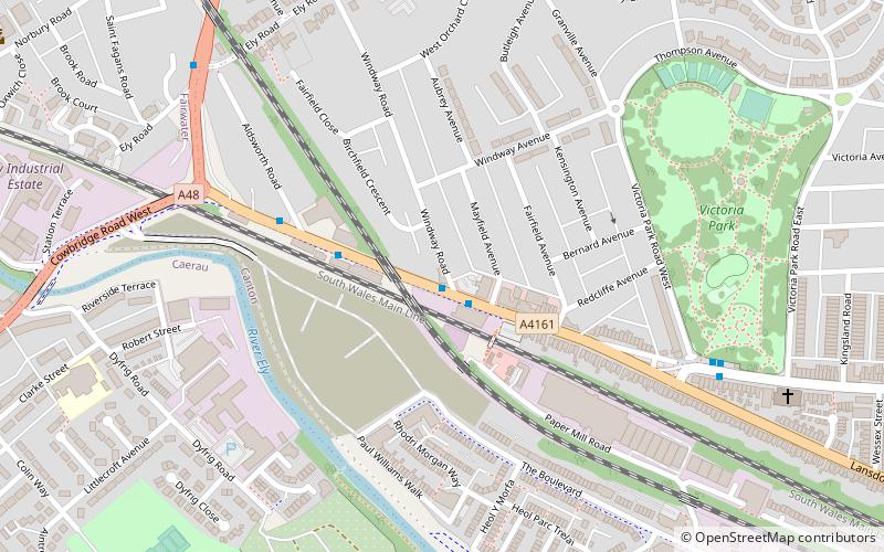
Pwll-coch was formerly a hamlet in the parish of Llandaff near Cardiff, and is now part of the district of Canton. It was located on the junction of Windway Road and the main road from Cardiff to Ely, a short distance from Ely Bridge. ()
Coordinates: 51°29'3"N, 3°13'27"W
Address
Gorllewin Caerdydd (Treganna)Cardiff
ContactAdd
Social media
Add
Getting there by public transportation
Public transportation stops near this location
- Bus
- Train
 Bus
Bus
- Calculate routeWindway Road 1 min walk
- Calculate routeEly Bridge 7 min walk
- Calculate routeVictoria Park 7 min walk
- Calculate routeWaun-gron Park 10 min walk
- Calculate routeFairwater 21 min walk
- Calculate routeNinian Park 28 min walk
- Calculate routeDanescourt 31 min walk
Day trips


Frequently Asked Questions (FAQ)
Which popular attractions are close to Pwll-coch?
Nearby attractions include Victoria Park, Cardiff (7 min walk), Sanatorium Park, Cardiff (13 min walk), Canton, Cardiff (14 min walk), Insole Court, Cardiff (15 min walk).
How to get to Pwll-coch by public transport?
The nearest stations to Pwll-coch:
Bus
Train
Bus
- Windway Road • Lines: 1 (1 min walk)
- Ely Bridge • Lines: 1 (7 min walk)
Train
- Waun-gron Park (10 min walk)
- Fairwater (21 min walk)