Raploch, Stirling
Map
Facts and practical information
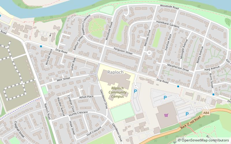
Raploch, known locally as The Raploch or The Raptap, is a district of the city of Stirling, which lies to the south of the River Forth in central Scotland. ()
Coordinates: 56°7'48"N, 3°57'0"W
Address
Stirling
ContactAdd
Social media
Add
Getting there by public transportation
Public transportation stops near this location
- Bus
- Train
 Bus
Bus
- Calculate routeStirling 23 min walk
- Calculate routeAllan Park South Church 26 min walk
- Calculate routeStirling Bus Station 26 min walk
Day trips


Frequently Asked Questions (FAQ)
Which popular attractions are close to Raploch?
Nearby attractions include Mote Hill, Stirling (9 min walk), Stirling Castle, Stirling (11 min walk), Statue of Robert the Bruce, Stirling (13 min walk), Stirling Sill, Stirling (13 min walk).
How to get to Raploch by public transport?
The nearest stations to Raploch:
Train
Bus
Train
- Stirling (23 min walk)
Bus
- Allan Park South Church • Lines: B12 (26 min walk)
- Stirling Bus Station • Lines: 24, B12, C11, X39 (26 min walk)