Pitstone Windmill, Tring

Gallery (2)
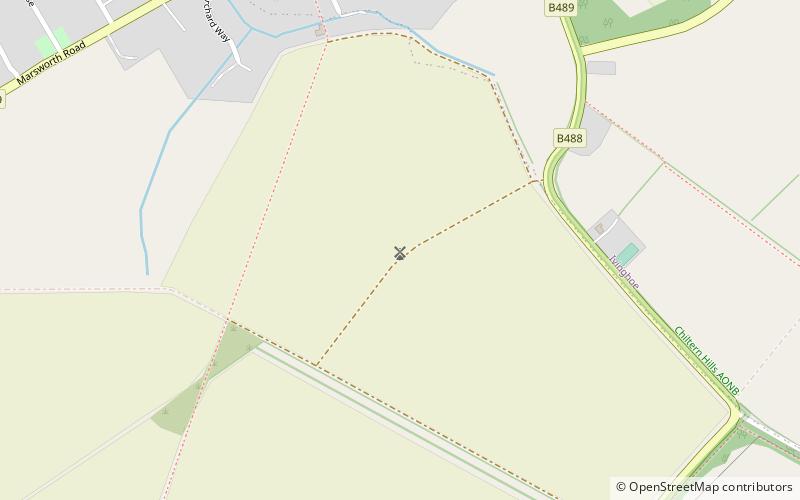
Map
Map
Gallery
Facts and practical information
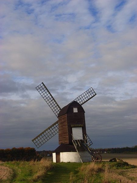
Pitstone Windmill is a Grade II* listed windmill in England which is thought to date from the early 17th century. It stands in the north-east corner of a large field near the parish boundary of Ivinghoe and Pitstone in Buckinghamshire, and belongs today to the National Trust. ()
Completed: 1627 (399 years ago)Coordinates: 51°49'54"N, 0°37'48"W
Day trips


